What is recorded here
Nine flat-topped, roughly rectangular stones (max. dims. L 1.15m; Wth 0.45m; H 0.2m above water level) traversing the Baurearagh River at a point where it is slow-flowing and c. 10m wide. The long axes of the stones is W-E, aligned with the flow of the river. They allow access to the mass-rock/bullaun stone (KE110-004---) c. 150m to the SW.
Compiled by: Elizabeth Byrne, Ursula Egan and Sheila Ronan, Archaeological Survey Unit, University College, Cork.
Date of upload: 30 May 2011
The monument record does not grant public access. Check the route and ask the landowner before entering private land.
- What survives
- Recorded monument
Places near here
 Enclosure in ReleaghEnclosure · 1281 yd
 IndicatedFairy fort / earthen ringfort · 1365 yd
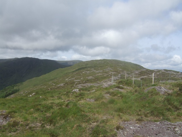 Baurearagh MountainMountain / peak · 1.0 mi
 Turners RockMountain / peak · 1.1 mi
 Molly Gallivan's Cottage & Traditional FarmMuseum · 1.5 mi
 Dromoghty Ho.Country house · 2.6 mi
 Gleninchaquin WaterfallWaterfall · 2.6 mi
 Gleninchaquin ParkHeritage attraction · 2.6 mi
 Glengarriff WoodsWood · 3.0 mi
 KilnKiln, lime · 3.0 mi
 Lady Bantry's LookoutViewpoint · 3.3 mi
 Graveyard in CappyaughnaGraveyard · 3.7 mi