What is recorded here
A series of seventeen flat-topped stepping stones (max. 1.2m x 0.6m) traversing a wide (c. 14m) and slow-flowing section of the Glanrastel River. The stepping stones are not indicated on 1846 OS 6-inch map.
Compiled by: Elizabeth Byrne, Ursula Egan and Sheila Ronan, Archaeological Survey Unit, University College, Cork.
Date of upload: 30 May 2011
The monument record does not grant public access. Check the route and ask the landowner before entering private land.
- What survives
- Recorded monument
Places near here
 SheepfoldEnclosure · 559 yd
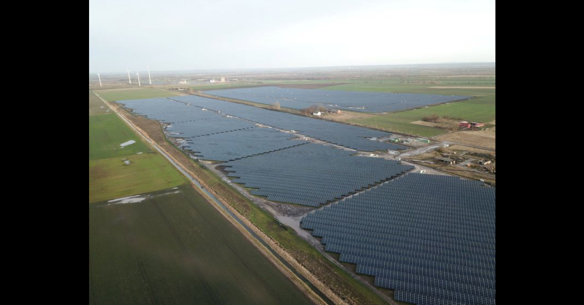 Field system in GlanrastelField system · 1.2 mi
 RoadRoad, unclassified togher · 1.2 mi
 KnockastumpaMountain / peak · 1.5 mi
 DrombohillyMountain / peak · 1.6 mi
 DroppaCliff · 1.6 mi
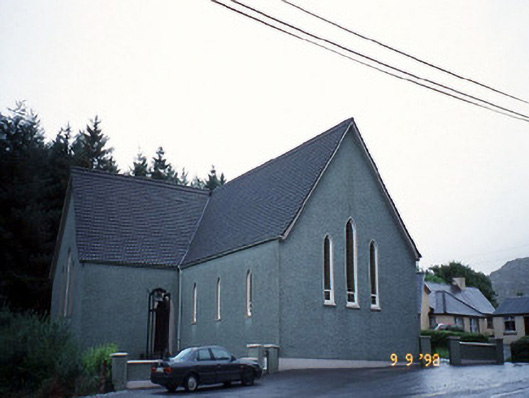 Saint Killian's Catholic Churchchurch/chapel · 1.7 mi
 New Zealand broadleafNew Zealand broadleaf · 2.2 mi
 Soft Tree-fernSoft Tree-fern · 2.2 mi
 Duck RockIslet · 2.6 mi
 Crane IslandIslet · 2.7 mi
 Gleninchaquin WaterfallWaterfall · 3.9 mi