What is recorded here
Situated on a W-facing slope in a low-lying landscape. Described as a 'Standing Stones' in italic lettering on the 1835 edition of the OS 6-inch map. No archaeological feature is visible at ground level and their precise location is not known.
The above description is derived from 'The Archaeological Inventory of County Leitrim' compiled by Michael J. Moore (Dublin: Stationery Office, 2003). In certain instances the entries have been revised and updated in the light of recent research.
Date of upload: 23 September 2008
The monument record does not grant public access. Check the route and ask the landowner before entering private land.
- What survives
- Recorded monument
Places near here
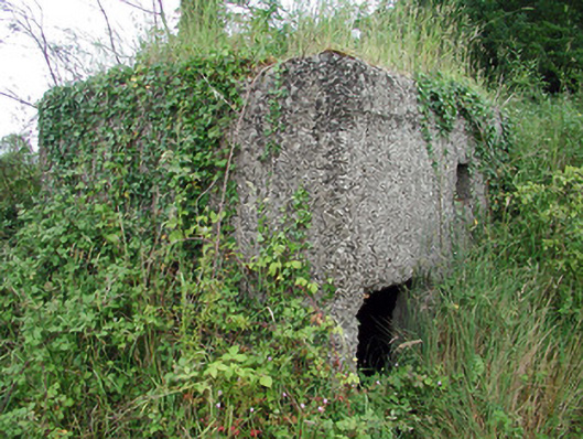 pill boxpill box · 189 yd
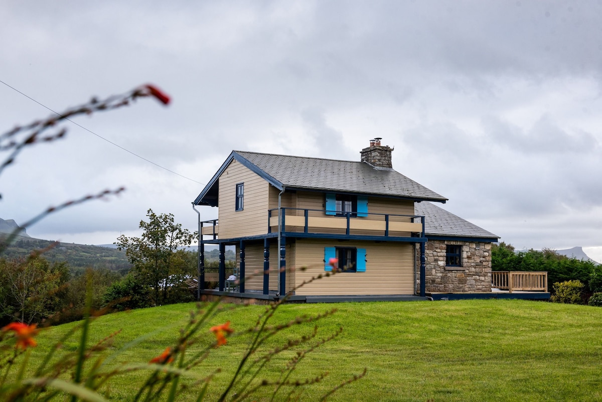 Grays FortFairy fort / ringfort · 284 yd
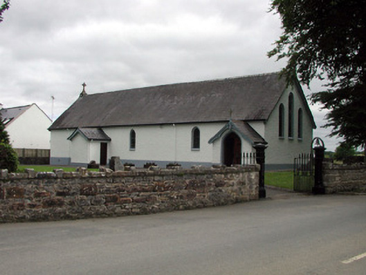 Saint Joseph's Catholic Churchchurch/chapel · 297 yd
 Sit of Breifny CastleCastle, tower house · 380 yd
 Shannon-Erne WaterwayVisitor information · 403 yd
 Tobereendoney WellHoly well · 854 yd
 PortCastle, unclassified · 1154 yd
 Battle of Áth an Chipbattle · 1442 yd
 InishnagonIsland · 1.8 mi
 Leabaidh DermotCave · 1.9 mi
 Sheemore Ambush MemorialMonument · 2.3 mi
 Moon RiverHeritage attraction · 3.3 mi