
Places near here
Photo credits
- Picture: Heritage Ireland / Office of Public Works
- Neville Goodman, Geograph · CC BY-SA 2.0
- Jane Carver, Wikimedia Commons · CC BY-SA 2.0
- Ernest Riordan, Geograph · CC BY-SA 2.0
- Kmcnamee, Wikimedia Commons · CC BY-SA 4.0
- John M, Geograph · CC BY-SA 2.0
- National Inventory of Architectural Heritage
Explorer Tom Stone Circle in Clodagh has five stones standing in a complete ring, with field stones filling the interior like it's a…
 Clodagh Standing StonesArchaeological place · 200 yd
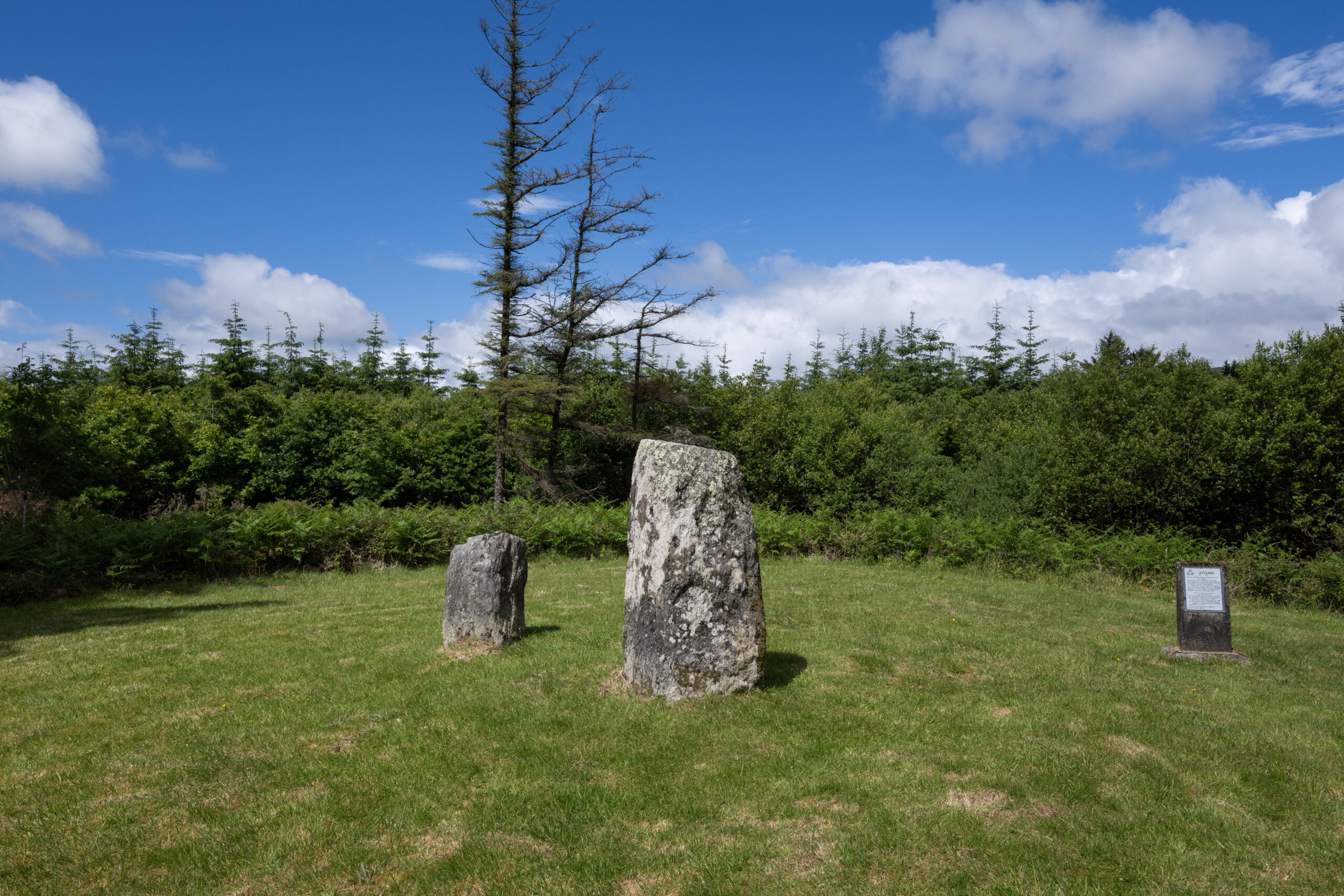
Explorer Tom Clodagh Standing Stones rise beside a County Cork road near Pookeen, one tall stone and one shorter companion refusing…
 Milane HillMountain / peak · 1601 yd
Explorer Tom Milane Hill is constantly being bad-mouthed by the seagulls who claim it’s overrated and too close to the trees. The…
 Nowen HillMountain / peak · 1.9 mi
Explorer Tom Nowen Hill stands above Dunmanway in West Cork as if watching you climb from below. It is the district's high point…
 Nowen Hill sw TopMountain / peak · 2.0 mi
Explorer Tom Nowen Hill sw Top is having a bit of a tantrum about its name sounding like a sneeze. It claims to be teaching history…
Quarry in GlanycarneyQuarry · 4.5 miExplorer Tom Quarry in Glanycarney might not even be a real monument according to the experts, which is very rude of them. It’s…
St Finbarr's Pilgrim RouteWalking route · 5.7 miExplorer Tom St Finbarr's Pilgrim Route saw a poet fall into a ditch right before he could finish his greatest masterpiece. He…
 Tadhg Mac Carthaigh GAA pitchGAA ground · 5.9 mi
 Garinish WestIslet · 16 mi
Explorer Tom Garinish West was once offered to a cow who wanted to buy it with a very shiny hoof, but the paperwork got lost in a…
 house17 mi
Explorer Tom House in Derreenacarrin was built by the government to save us poor folk, and it’s still standing there looking smug…
Mehal HeadHeadland · 18 miExplorer Tom Mehal Head in County Cork would tell its replacement that it’s got nothing on this ancient, wind-battered lump of rock.…
Shot HeadHeadland · 19 miExplorer Tom Shot Head in County Cork would say in a job interview that it has excellent stability and never gets tired of standing…
More archaeology and monuments in County Cork · All of County Cork

What do you know about this place?Tap to add a comment or ask a question