What is recorded here
No visible stone remains in Carrickastickan, though the site is still marked as a prehistoric standing stone. The place may have lost its marker to soil, ploughing or time, yet the name preserves the shape of what once stood there.
The official Northern Ireland record identifies this as STANDING STONE (unlocated). Recorded period: UNCERTAIN; PREHISTORIC. The official map point was placed at the centre of the recorded archaeological site from the source map reference.
The monument record does not grant public access. Check the route and ask the landowner before entering private land.
- What survives
- Recorded monument
Places near here
 ENCLOSURE in CarrickastickanENCLOSURE · 555 yd
 IndicatedChurch · 713 yd
 Forkhill Greenspace PathwayWalking route · 808 yd
 Bawn in DungoolyBawn · 1140 yd
 Ring of Gullion Way - ForkhillVisitor information · 1172 yd
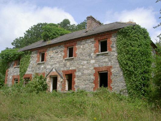 Dungooly Millmiller's house · 1290 yd
 LARGE ENCLOSURE & CAIRN on FORKILL MOUNTAIN in CarrickastickanLARGE ENCLOSURE & CAIRN on FORKILL MOUNTAIN · 1550 yd
 TievecromMountain / peak · 1551 yd
 CroslieveMountain / peak · 1726 yd
 Mass Rock Loop TrailWalking route · 1.4 mi
 Ballsmill Amenity LandPicnic place · 1.8 mi
 TumulusCastle, motte and bailey · 2.0 mi