What is recorded here
Magic and ceremony swirled around this stone, marking the birthplace of power for Dal Riata and the Hebrides. A tall rectangular slab rises from a grassy hollow beside the Hell River, its flat top sloping east like a tongue waiting to speak. The northern face pockmarks with tiny solution holes, as if rain had whispered secrets into the rock for centuries.
On a slight rise W of the NW-SE Hell River, and c. 40m WSW of the inauguration mound (CL034-095001-/CL034-095007-). A rectangular orthostat (0.9m x 0.24m; H 1.75-2m) aligned ENE-WSW. The top is flat and slopes down to the E (0.74m by 0.2m to 0.22m). It is in a slight grass-covered hollow (2.4m NW-SE; 3m NE-SW). The N side has a lot of solution holes (Wth 0.02m; D 0.01m). (Westropp 1917, 11)
Compiled by: Michael Moore
Date of upload: 19 June 2018
Probably dating to the early medieval period, this standing stone may be associated with the nearby inauguration mound, suggesting a ceremonial or symbolic role linked to local kingship traditions. Such stones were often used in the investiture of rulers, reflecting the spiritual and political significance of the landscape.
The monument record does not grant public access. Check the route and ask the landowner before entering private land.
- What survives
- Recorded monument
Places near here
 Magh AdhairArchaeological place · 111 yd
 Toberlanniv Holy WellHoly well · 190 yd
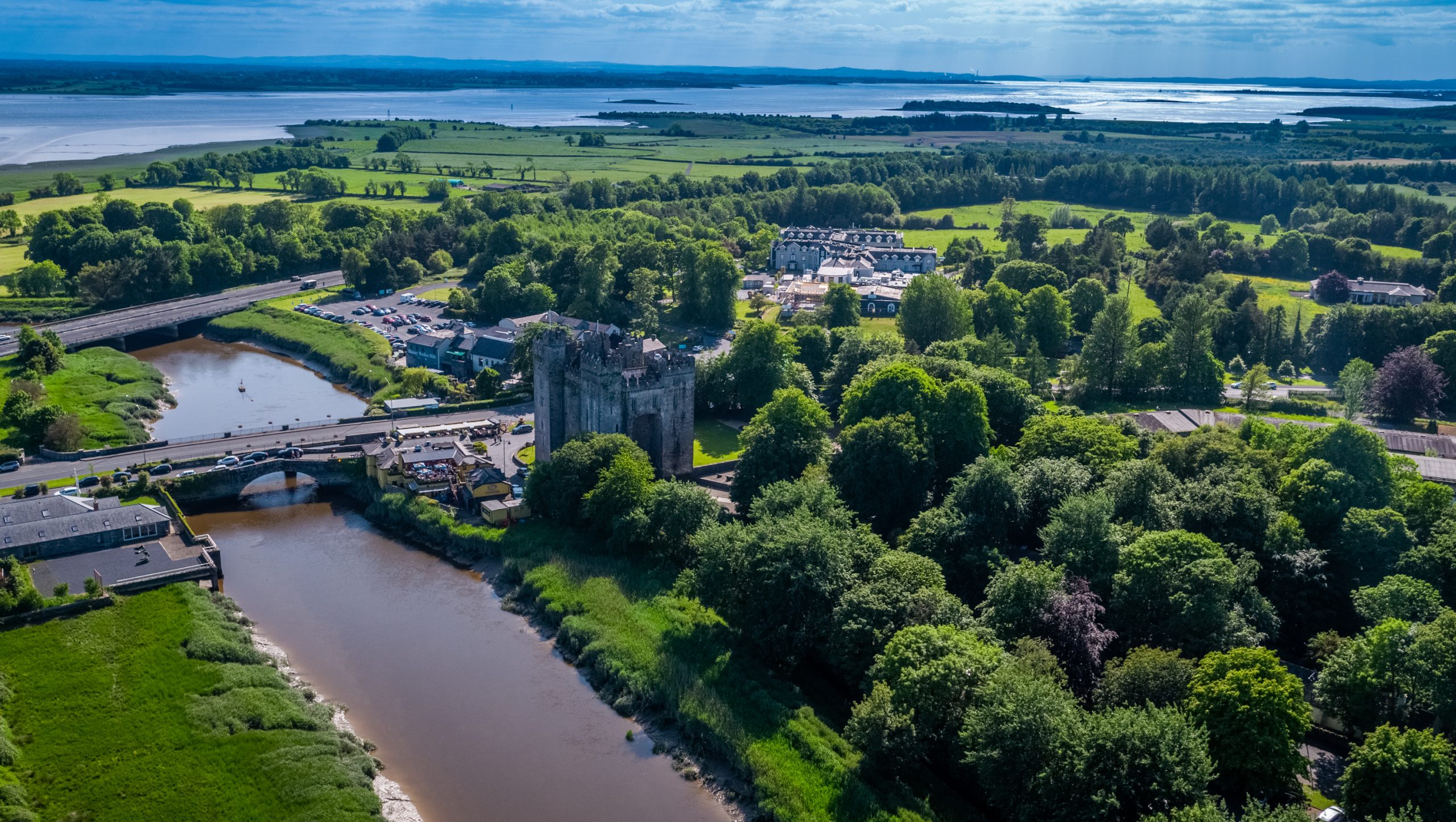 Toonagh Castle (Site of)Castle, unclassified · 627 yd
 Toonagh Househouse · 755 yd
 Corbally Castle (Site of)Castle, unclassified · 1737 yd
 Shankill Church (in ruins)Church · 1.2 mi
 Cloghleagh RockNamed rock · 1.7 mi
 Quin AbbeyHeritage attraction · 2.0 mi
 The RingfortHeritage attraction · 2.5 mi
 Kilcatherine GraveyardWood · 3.7 mi
 Mooghaun WoodsWood · 4.7 mi
 CahercallaFairy fort / stone ringfort · 566 yd