
What is recorded here
Toberlanniv Holy Well sat at the boundary of Toonagh and Cahercalla, marked clearly on the 1840 map but reduced to a ghostly “site of” by 1921. What remained in 2005 was only damp earth and loose stones beneath bramble scrub, yet that edge-between-townlands position fits the old Irish habit of placing sacred wells on shared, liminal ground. The water may have vanished or simply stopped being named, but the boundary itself still holds the shape of what the well once did: gather people, mark ownership, and give the landscape a reason to pause.
In a low-lying landscape, at the townland boundary of Toonagh and Cahercalla in a field of bramble scrub. Named 'Toberlanniv Holy Well' on the 1840 OS 6-inch map but named 'Toberlanniv Holy Well (Site of )' on the 1921 edition. On inspection in 2005 an area of damp ground with loose stones (diam. 3m) was visible.
Compiled by: Mary Tunney
Date of upload: 19 June 2018
Linked to Saint Lanniv, the well was traditionally visited for cures related to skin ailments and general wellness. The name 'Toberlanniv' (well of Lanniv) suggests a medieval Christian tradition, though specific folklore or recorded rituals associated with the site are sparse.
The monument record does not grant public access. Check the route and ask the landowner before entering private land.
- What survives
- Recorded monument
Places near here
 Magh AdhairArchaeological place · 148 yd
 CahercallaFairy fort / stone ringfort · 510 yd
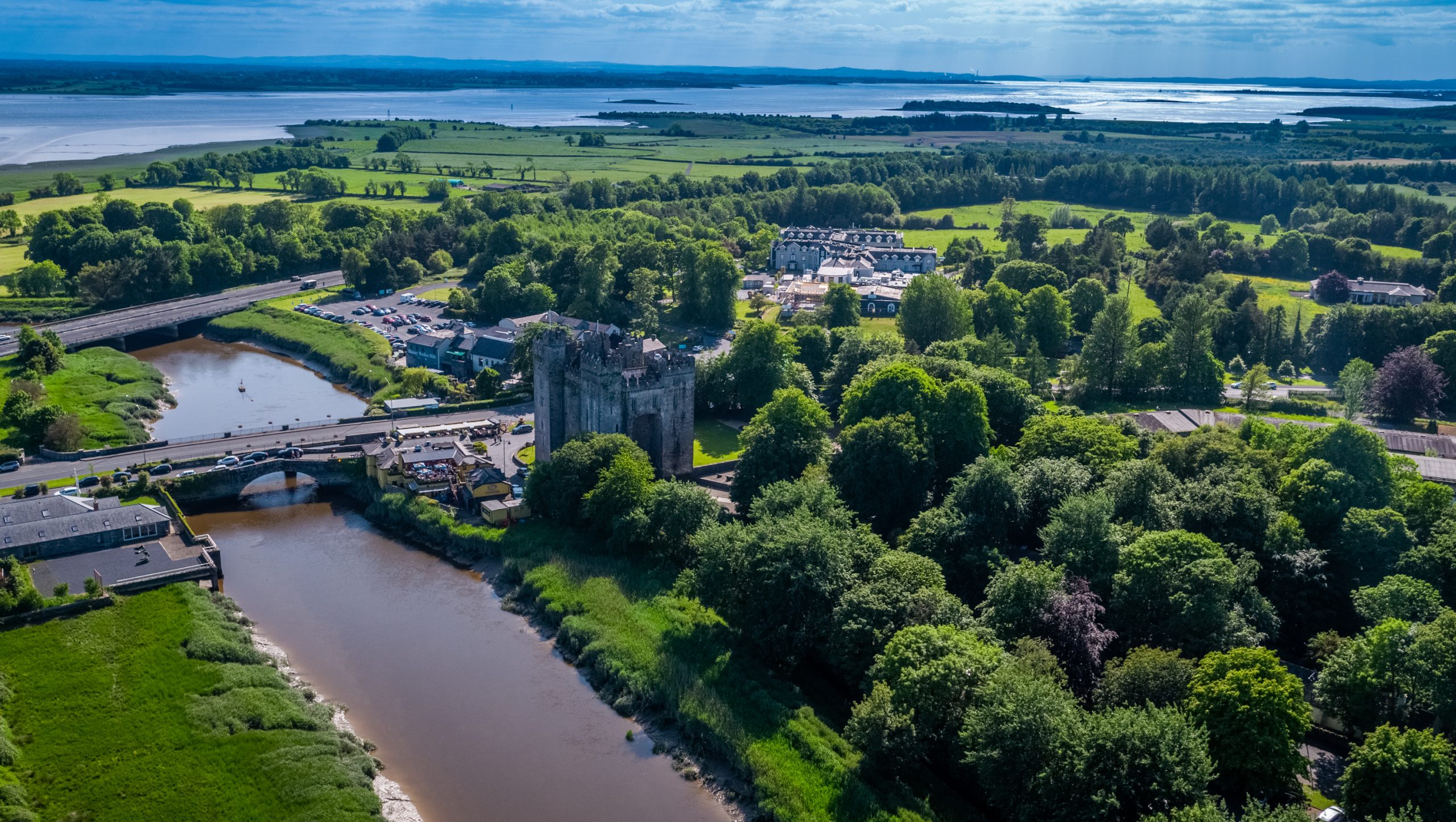 Toonagh Castle (Site of)Castle, unclassified · 765 yd
 Toonagh Househouse · 902 yd
 Dangan Castle (in ruins)Castle, hall-house · 1.1 mi
 Shankill Church (in ruins)Church · 1.1 mi
 Cloghleagh RockNamed rock · 1.6 mi
 Quin AbbeyHeritage attraction · 2.0 mi
 The RingfortHeritage attraction · 2.4 mi
 Kilcatherine GraveyardWood · 3.8 mi
 Mooghaun WoodsWood · 4.6 mi
 Enclosure in CaherloghanEnclosure · 1352 yd
Other information
Photo: Credit not shown in the picture search · Rights wording not checked; contact us if this picture should be removed