What is recorded here
Located at the N edge of a plateau overlooking the Suir river valley. Two conglomerate stones both oriented N-S and placed 0.55m apart form a N-S alignment. Both the N stone (dims. 0.6m x 0.5m; H 1m) and the S stone (dims. 0.9m x 0.5m; H 1.35m) have rectangular cross-sections.
The above description is derived from the published 'Archaeological Inventory of County Waterford' (Dublin: Stationery Office, 1999). In certain instances the entries have been revised and updated in the light of recent research.
Compiled by: Michael Moore
Date of revision: 14 March 2017
Likely dating to the Neolithic or Bronze Age, the paired orientation and alignment of the stones may have had ceremonial or astronomical significance. Such arrangements are often associated with ritual practices or markers for seasonal events in prehistoric landscapes.
The monument record does not grant public access. Check the route and ask the landowner before entering private land.
- What survives
- Recorded monument
Places near here
 Enclosure in Sheskin (upperthird By.)Enclosure · 576 yd
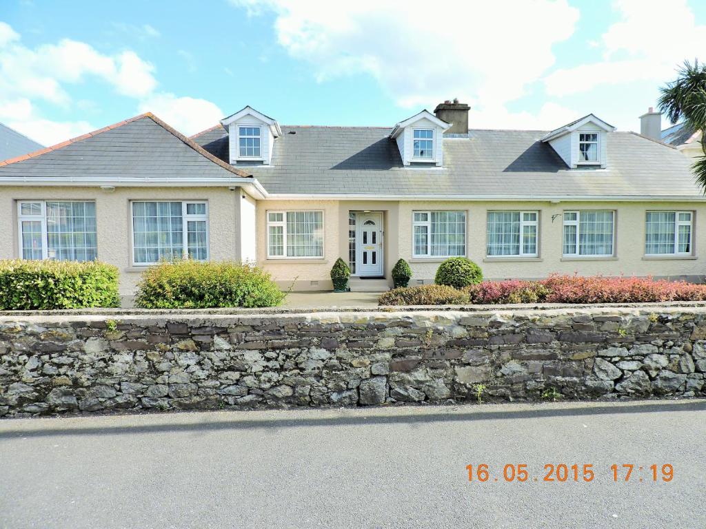 St Anthonys WellHoly well · 1257 yd
 Coolnamuck Courtfolly · 1318 yd
 Corragina Millmill (water) · 1354 yd
 Coolnamuck Castke (in Ruins)Castle, tower house · 1511 yd
 Coolnamuck Wood WestForest · 1.5 mi
 Ormonde CastleHeritage attraction · 1.7 mi
 CastleCastle, Anglo-Norman masonry castle · 1.7 mi
 Churchtown WoodForest · 2.4 mi
 CarrigfenoaghMountain / peak · 2.4 mi
 Thomas KielyMemorial · 2.8 mi
 Tower HillMountain / peak · 4.2 mi