What is recorded here
Two stones stand eighty centimetres apart in rough pasture west of the Cooleenleman river, one barely reaching a metre and the other rising to twelve decimetres. They point north-east and south-west like a needle dropped through flat land, while buried boulder chambers and a five-stone circle wait nearby. The pair may have marked a boundary, a path or a place where the living visited the dead. Whatever they measured, they still hold their line against the grass.
In flat area of rough pasture land, c. 50m W of Cooleenleman river. Stones, aligned NNE-SSW, stand 0.8m apart. NE stone is 0.7m L by 0.4m T and 0.75m H. Second stone is 0.45m L by 0.3m T and 1.2m H. Part of complex also comprising three boulder burials (CO105-00401-; CO105-00402-; C0105-00403-) to W and five-stone circle (CO105-00404-) to NNW.
The above description is derived from the published 'Archaeological Inventory of County Cork. Volume 1: West Cork' (Dublin: Stationery Office, 1992). In certain instances the entries have been revised and updated in the light of recent research.
Date of upload/revision: 14 January 2009
Probably dating to the Late Neolithic or Bronze Age, the pair may have functioned as a boundary marker or ritual alignment. Their orientation and proximity suggest possible use in ceremonial or astronomical contexts, though specific folklore or symbolic meaning is not recorded.
The monument record does not grant public access. Check the route and ask the landowner before entering private land.
- What survives
- Recorded monument
Places near here
 Boulder-burial in Mill LittleBoulder-burial · 56 yd
 Coomhola Salmon Trust (Streamscapes)Museum · 794 yd
 Mass-rock in DerrynakillaMass-rock · 836 yd
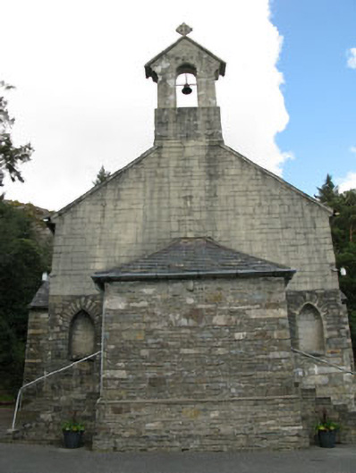 St. Joseph's Roman Catholic Churchchurch/chapel · 1584 yd
 Rose Cottagehouse · 1.0 mi
 Daly's LoopWalking route · 1.0 mi
 An Cab DubhMountain / peak · 1.5 mi
 Snave StrandBeach / strand · 1.5 mi
 Coomhola MountainMountain / peak · 1.8 mi
 Snave BayBay · 2.1 mi
 Chilean myrtleChilean myrtle · 2.1 mi
 Castle (in Ruins)House, fortified house · 2.3 mi