What is recorded here
Situated on a low platform in an upland area with a bowl-barrow (TN019-016----) c. 42m to NW and rock outcrop decorated with cup-marks (TN019-053----) 20m to to the W. Two limestone orthostats, aligned E-W, and 9.5m apart. Both stones are triangular in shape with the tops of the stones sloping from N-S. The E stone is erect (H 2.1m; 1.1m x 0.9m) while the W stone (H 1.5m; 0.6m x 1.1m) has fallen and is resting on its packing-stones. The NW face of the upright E stone appears to have cupmarks similar to the carvings on the rock outcrop (TN019-053----) to the W.
The above description is derived from 'The Archaeological Inventory of County Tipperary. Vol. 1 - North Tipperary' compiled by Jean Farrelly and Caimin O'Brien (Dublin: Stationery Office, 2002). In certain instances the entries have been revised and updated in the light of recent research.
Date of upload/revision: 12 March 2014
Probably dating to the Neolithic or Bronze Age, the pair of standing stones may have had ritual or ceremonial significance, possibly linked to the nearby bowl-barrow and cup-marked rock. Their alignment and positioning suggest a possible funerary or territorial function within a wider prehistoric landscape.
The monument record does not grant public access. Check the route and ask the landowner before entering private land.
- What survives
- Recorded monument
Places near here
 Enclosure in Curragh (castletownarra Par.)Enclosure · 484 yd
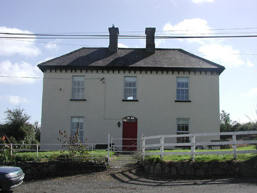 Dower HouseRIC barracks · 516 yd
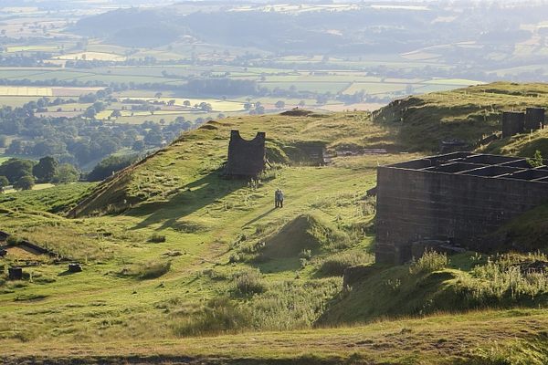 Enclosure in LisheenbrienEnclosure · 541 yd
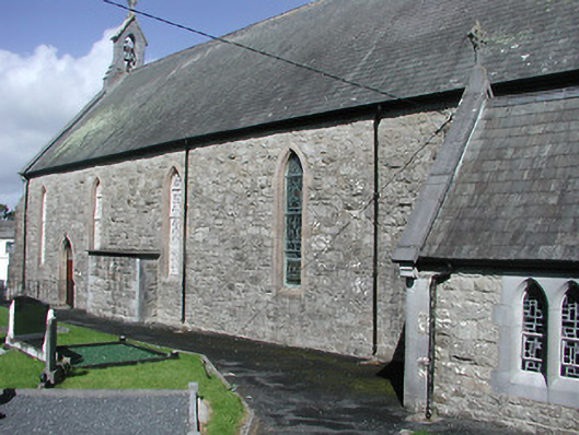 Catholic Church of the Blessed Virgin Marychurch/chapel · 599 yd
 Giant's GraveArchaeological place · 1.3 mi
 CastleCastle, unclassified · 1.3 mi
 Corbally HillMountain / peak · 1.6 mi
 Castle in ruinsCastle, unclassified · 1.6 mi
 Mass RockNamed rock · 1.7 mi
 Saint Patrick's RockNamed rock · 1.8 mi
 CopperminesCave · 1.8 mi
 Garrykennedy ForestWood · 1.8 mi