What is recorded here
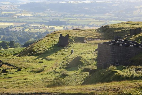
Situated on a SE-facing slope of rising ground in an upland area. The barely discernible outline of a poorly preserved bivallate enclosure consisting of a circular area (diam. 25m N-S approx.) enclosed by two earthen banks with intervening fosse. The outer bank (Wth 4m) is the best preserved and is partially destroyed by an old field fence which intersects the site at W on a N-S axis.
The above description is derived from 'The Archaeological Inventory of County Tipperary. Vol. 1 - North Tipperary' compiled by Jean Farrelly and Caimin O'Brien (Dublin: Stationery Office, 2002). In certain instances the entries have been revised and updated in the light of recent research.
Date of upload/revision: 22 September 2008
A local fairy fort (ringfort/rath); wider significance not recorded.
The monument record does not grant public access. Check the route and ask the landowner before entering private land.
- What survives
- Recorded monument
Places near here
 Enclosure in Curragh (castletownarra Par.)Enclosure · 688 yd
 Enclosure in Drum (castletownarra Par.)Enclosure · 1003 yd
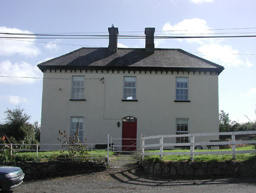 Dower HouseRIC barracks · 1057 yd
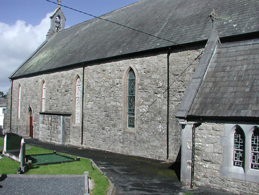 Catholic Church of the Blessed Virgin Marychurch/chapel · 1135 yd
 Giant's GraveArchaeological place · 1.1 mi
 CastleCastle, unclassified · 1.2 mi
 Corbally HillMountain / peak · 1.3 mi
 Saint Patrick's RockNamed rock · 1.6 mi
 Castle in ruinsCastle, unclassified · 1.6 mi
 Millenium CrossHeritage attraction · 1.7 mi
 Laghtea HillMountain / peak · 1.7 mi
 Mass RockNamed rock · 2.0 mi
Other information
Photo: Credit not shown in the picture search · Rights wording not checked; contact us if this picture should be removed