What is recorded here
Located on the S-facing slope of a terrace on an E−W ridge, in upland waterlogged blanket bog c. 100m south of the townland boundary between Keerglen and Ballykinlettragh. The Keerglen River is at the base of slope to S, and there are streams to E and W. Views to the S are extensive, with distinctive outline of Nephin Mountain visible in the distance.
Two earthfast upright boulders set c. 2m apart on a NE-SW axis. The taller boulder (H 0.70m; Wth 0.95m at base; T 0.60m) at SW is broadly trapezoidal in shape and appears to mimic the humped shape of Nephin. The smaller boulder (H at least 0.30m; W 0.40m; T 0.40m), which appears to have a more rounded profile, is deeply sunken in the bog and largely concealed by heather. No other stones or boulders are visible in the vicinity.
Notified to NMS by Fiona Maguire
Attached images uploaded courtesy of Fiona Maguire:
MA013-007----_01.JPG Viewed from NE
MA013-007----_02.JPG Viewed from E
Compiled by: Jane O'Shaughnessy
Date of upload: 24 February 2022
The monument record does not grant public access. Check the route and ask the landowner before entering private land.
- What survives
- Recorded monument
Places near here
 Dragons GraveFairy fort / stone ringfort · 632 yd
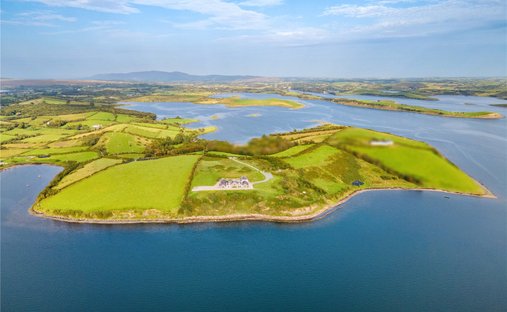 Enclosure in KeerglenEnclosure · 738 yd
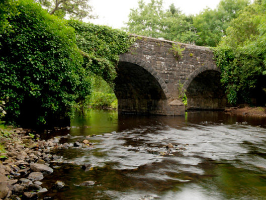 Ballinglen Bridgebridge · 1.5 mi
 Castle (in Ruins)Castle, tower house · 1.8 mi
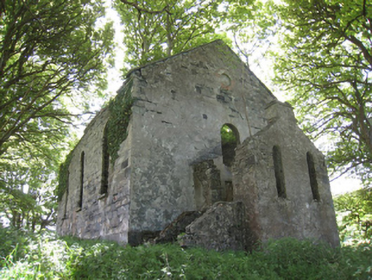 Ballinglen Presbyterian Churchchurch/chapel · 2.5 mi
 Lisheen Grave YardArchaeological place · 2.8 mi
 Ballycastle BeachBeach / strand · 4.1 mi
 Rathroe CastleCastle · 4.6 mi
 Céide FieldsArchaeological place · 4.8 mi
 BlowholeCliff · 5.0 mi
 Céide Fields Visitor CentreVisitor information · 5.1 mi
 Ceide FieldsHeritage attraction · 5.2 mi