What is recorded here
In level pasture, with good views of the Galty More Mountains to the SE. Enclosure (LI049-150----) in adjoining field 45m to W. Stream marking townland boundary with Kilgreana 45m to N and River Aherlow marking townland boundary with Ardrahin 100m to E. Two stones, roughly aligned E-W, stand 8.16m apart. Tall tapering W stone (H 1.2m x 0.9m x 0.46m) with large quartzite vein is leaning heavily to N. Lower squat-shaped E stone (H 0.9m x 0.66m x 0.36m) with evidence of packing stones around base.
Compiled by: Caimin O’Brien based on details provided by Billy O'Brien and James O'Brien
Date of upload: 5 April 2022
The monument record does not grant public access. Check the route and ask the landowner before entering private land.
- What survives
- Recorded monument
Places near here
 Partially hachuredEarthwork · 684 yd
 Killanellig (Site of), HachuredChurch · 1149 yd
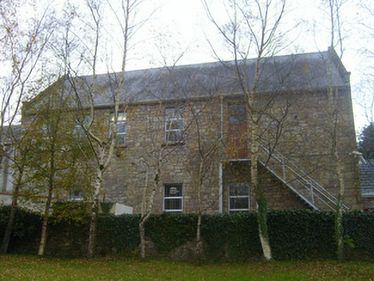 Canon Hennessy Community Centreschool · 1326 yd
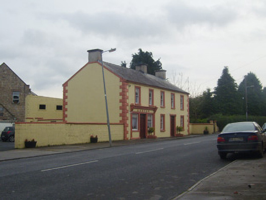 A.J. Ryanpublic house · 1331 yd
 Duntryleague HillMountain / peak · 1.2 mi
 Darby's Bed Walk LoopWalking route · 1.3 mi
 Duntryleague - hachuredCastle, ringwork · 1.8 mi
 Site of Castle, Castle FieldCastle, unclassified · 2.3 mi
 Knockanebrack HillMountain / peak · 2.7 mi
 Carn (site of)Cairn, burial cairn · 3.4 mi
 Assaroula WaterfallWaterfall · 3.5 mi
 Saint Patrick's WellSpring · 3.5 mi