
What is recorded here
Described in the Urban Survey of Limerick (Bradley et. al. 1989, 134) as following; 'Killenellig church site. A church site to the south of Galbally town (LI049-086----). The fact that it was a prebend of the diocese of Emly suggests that it may have been an Early Christian Church site of some importance'. No surface remains visible of possible church site annotated on OS 6-inch map as Site of 'Killanellug'.
Compiled by: Caimin O'Brien
Date of upload: 26 June 2019
The monument record does not grant public access. Check the route and ask the landowner before entering private land.
- What survives
- Recorded monument
Places near here
 Moated site in ArdrahinMoated site · 157 yd
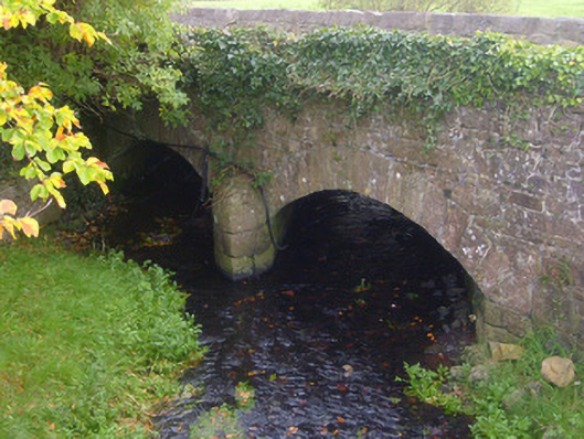 bridgebridge · 493 yd
 Tuck MillWater mill, unclassified · 567 yd
 Partially hachuredEarthwork · 618 yd
 Duntryleague HillMountain / peak · 1.5 mi
 Darby's Bed Walk LoopWalking route · 1.5 mi
 Knockanebrack HillMountain / peak · 2.1 mi
 Duntryleague - hachuredCastle, ringwork · 2.2 mi
 Site of Dungrot CastleCastle, unclassified · 2.6 mi
 Assaroula WaterfallWaterfall · 3.3 mi
 Carn (site of)Cairn, burial cairn · 3.5 mi
 Giant's Rock - Rock of AglaishNamed rock · 3.6 mi
Other information
Photo: Credit not shown in the picture search · Rights wording not checked; contact us if this picture should be removed