What is recorded here
Eight metres apart on level pasture, two stones face each other across a gap wide enough for a cart or a dance. The tall western stone leans north like a listener straining toward the Galty More Mountains, while the squat eastern stone sits packed and steady as an anchor. They may have marked a boundary, a meeting place, or a warning about the river hidden beyond the grass. Whatever they measured, they still hold the shape of that purpose in their tilted silence.
In level pasture, with good views of the Galty More Mountains to the SE. Enclosure (LI049-150----) in adjoining field 45m to W. Stream marking townland boundary with Kilgreana 45m to N and River Aherlow marking townland boundary with Ardrahin 100m to E. Two stones, roughly aligned E-W, stand 8.16m apart. Tall tapering W stone (H 1.2m x 0.9m x 0.46m) with large quartzite vein is leaning heavily to N. Lower squat-shaped E stone (H 0.9m x 0.66m x 0.36m) with evidence of packing stones around base.
Compiled by: Caimin O’Brien based on details provided by Billy O'Brien and James O'Brien
Date of upload: 5 April 2022
The monument record does not grant public access. Check the route and ask the landowner before entering private land.
- What survives
- Recorded monument
Places near here
 Partially hachuredEarthwork · 684 yd
 Killanellig (Site of), HachuredChurch · 1149 yd
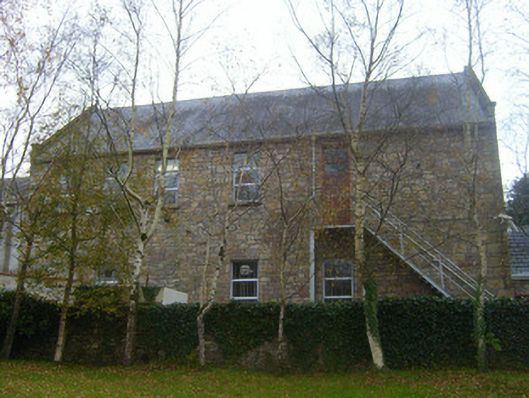 Canon Hennessy Community Centreschool · 1326 yd
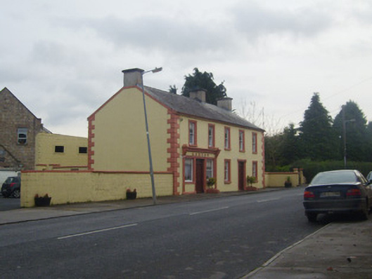 A.J. Ryanpublic house · 1331 yd
 Duntryleague HillMountain / peak · 1.2 mi
 Darby's Bed Walk LoopWalking route · 1.3 mi
 Duntryleague - hachuredCastle, ringwork · 1.8 mi
 Site of Castle, Castle FieldCastle, unclassified · 2.3 mi
 Knockanebrack HillMountain / peak · 2.7 mi
 Carn (site of)Cairn, burial cairn · 3.4 mi
 Assaroula WaterfallWaterfall · 3.5 mi
 Saint Patrick's WellSpring · 3.5 mi