What is recorded here
In pasture, on very gentle ESE-facing slope. Monument, depicted on 1841 OS 6-inch map as circular (diam. c. 50m) enclosure, has been levelled. No trace of monument evident when inspected. This is probably site described by Westropp (1916-17, 35) as 'an interesting dun 90 feet across (LI019-101----), with two lofty pillars 8 feet to 10 feet high, leaning towards each other' but which had been 'levelled, being just traceable' and the pillars 'broken up'.
Compiled by: Denis Power
Date of Upload: 3 August 2012
The monument record does not grant public access. Check the route and ask the landowner before entering private land.
- What survives
- Recorded monument
Places near here
 Rathfarra - HachuredFairy fort / earthen ringfort · 810 yd
 Slab-lined burial in MoigSlab-lined burial · 835 yd
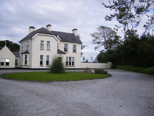 The Presbyteryhouse, presbytery/parochial/curate's house · 867 yd
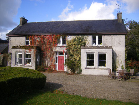 Kilcosgrave Househouse · 1589 yd
 Site of CastleCastle, unclassified · 1608 yd
 CastleCastle, unclassified · 1.3 mi
 St. Luke's WellSpring · 3.1 mi
 St. Kieran's WellSpring · 4.0 mi
 Foynes Flying Boat & Maritime MuseumMuseum · 4.4 mi
 Foynes Island ViewpointViewpoint · 4.6 mi
 Gammarel PointHeadland · 4.8 mi
 Monterey CypressMonterey Cypress · 4.9 mi