What is recorded here
Two tall stones still stand between Millstreet and Ballinagree, waiting for the name of the hand that tilted them from the earth. They are not a temple, a gateway or a grave in any practical sense, but a long, stubborn answer given across centuries. People may have gathered there to mark a boundary, honour a loss or watch the sky change, yet the stones never explained themselves. They only continued standing while the world around them forgot why it had stopped to look up.
In rough pasture, on a level narrow shoulder of a S-facing slope. Two upright stones, aligned ENE-WSW, measure 3.1m in overall length. The WSW stone (1.1m x 0.65m; H 0.9m) stands 1.25m from the ENE stone (0.6m x 0.65m; H 0.7m).
The above description is derived from 'The Archaeological Inventory of County Cork. Volume 5' (Dublin: Stationery Office, 2009).
Date of upload: 22 December 2009
The monument record does not grant public access. Check the route and ask the landowner before entering private land.
- What survives
- Recorded monument
Places near here
 CairnCairn, unclassified · 598 yd
 Derrycreha Househouse · 790 yd
 Enclosure in Dromgarriff (bantry By.)Enclosure · 794 yd
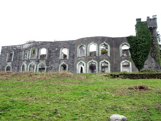 Glengarriff House Hotelcastle/fortified house · 893 yd
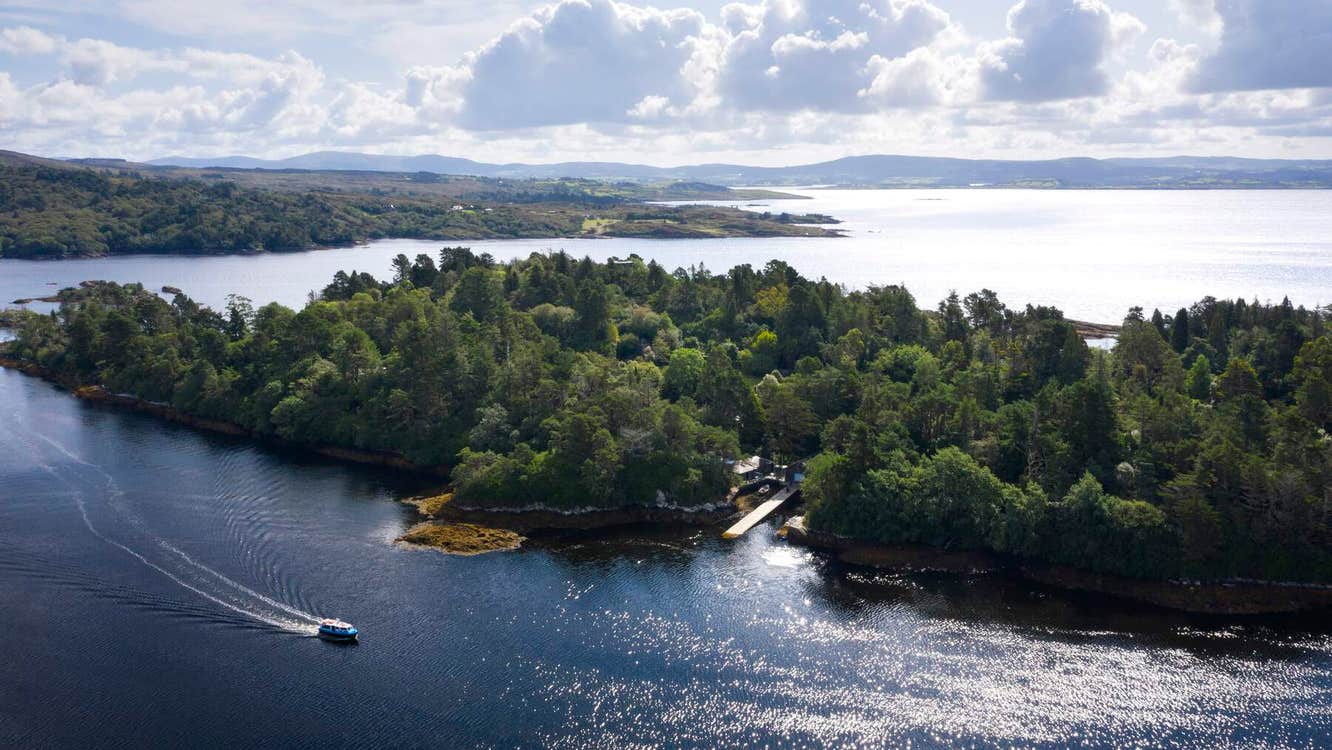 Garranboy IslandIslet · 1333 yd
 An Cab DubhMountain / peak · 1337 yd
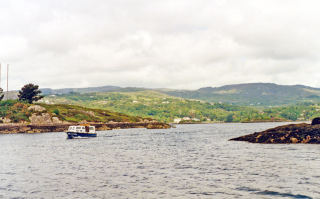 Glengarriff BayBay · 1652 yd
 Calf IslandIslet · 1703 yd
 Tasmanian bluegumTasmanian bluegum · 1.3 mi
 Bryce HouseMuseum · 1.4 mi
 IlnacullinIsland · 1.4 mi
 Ardaturrish PointHeadland · 1.6 mi