
What is recorded here
Half a circle of stone still holds the ridge above Glengarriff, its missing northern edge buried in shallow bog. The place has kept its shape through rain, foot traffic and forgotten time. A person may have stood there at dusk, watching the valley darken, knowing the cairn would outlast every name spoken beside it.
On top of an E-W gorse and heather-covered rocky ridge, on the W-facing slopes of Cobduff Mountain, overlooking Glengarriff. A semicircular mound of stones (6.5m N-S; H 0.6m) is what remains of an originally a circular cairn. The semicircular mound comprises stones of varying shapes and sizes and displays traces of a kerb along its SE-SW arc. The N half of the original cairn appears to have been removed, leaving traces of the perimeter stones embedded in the shallow bog. A hut site (CO105-055002-) lies c. 200m to the N.
The above description is derived from 'The Archaeological Inventory of County Cork. Volume 5' (Dublin: Stationery Office, 2009).
Date of upload: 22 December 2009
A Neolithic cairn; its location and construction suggest it was part of a broader ritual or funerary landscape in west Cork.
The monument record does not grant public access. Check the route and ask the landowner before entering private land.
- What survives
- Recorded monument
Places near here
 Enclosure in Dromgarriff (bantry By.)Enclosure · 230 yd
 Field boundary in DerroograneField boundary · 797 yd
 An Cab DubhMountain / peak · 1064 yd
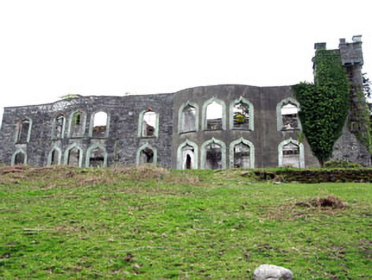 Glengarriff House Hotelcastle/fortified house · 1232 yd
 Derrycreha Househouse · 1384 yd
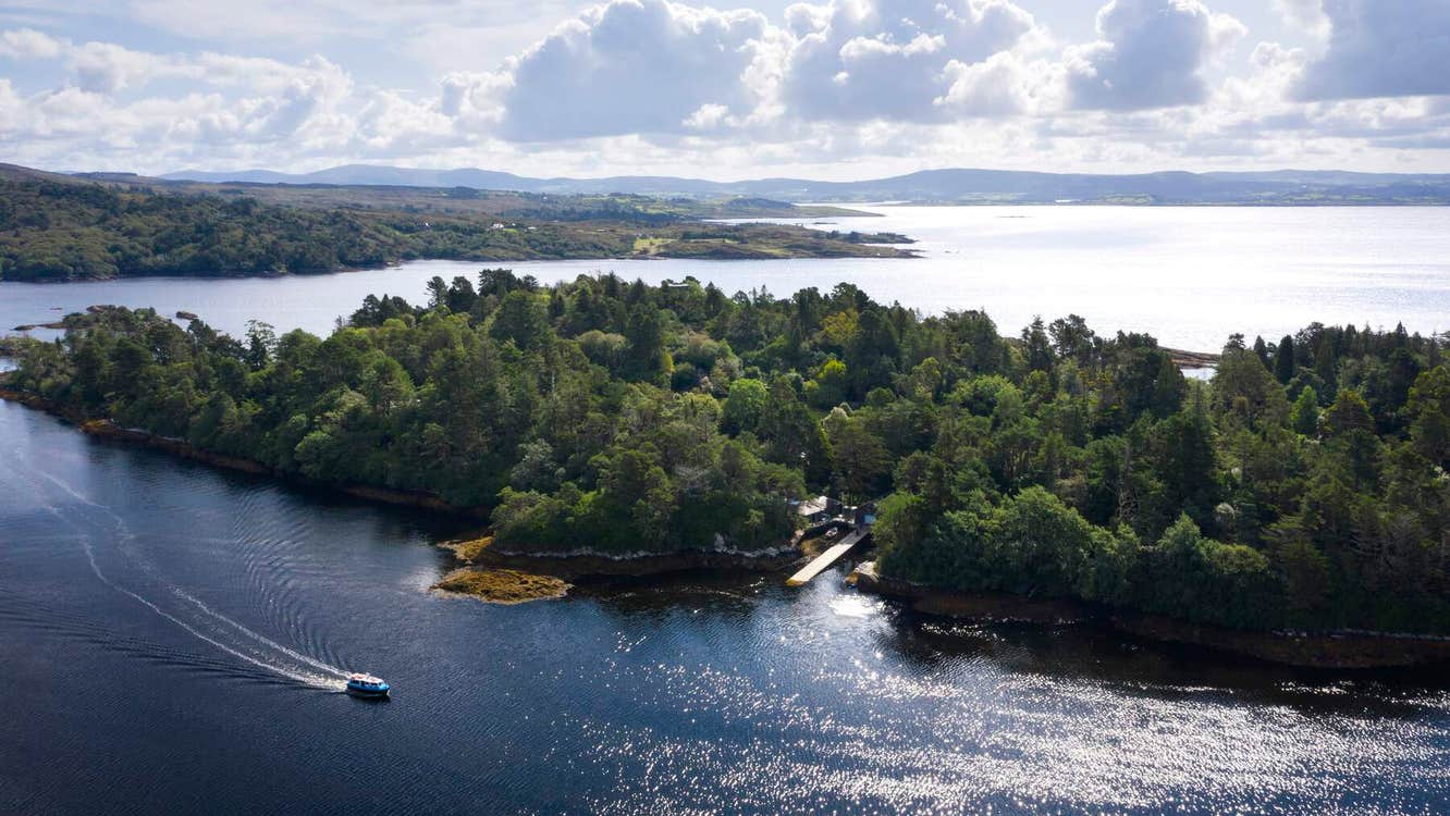 Garranboy IslandIslet · 1574 yd
 Calf IslandIslet · 1.0 mi
 Tasmanian bluegumTasmanian bluegum · 1.2 mi
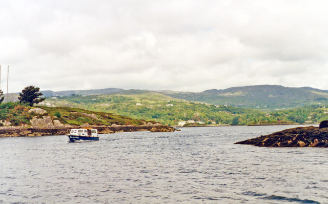 Glengarriff BayBay · 1.3 mi
 Bryce HouseMuseum · 1.6 mi
 The Blue PoolHeritage attraction · 1.6 mi
 Graveyard in CappyaughnaGraveyard · 1.8 mi
Other information
Photo: Credit not shown in the picture search · Rights wording not checked; contact us if this picture should be removed