
What is recorded here
On a pasture terrace, on the W-facing slopes of Cobduff overlooking Glengarriff. A circular area (diam. 10m) is defined by the jumbled remains of a stone wall (T 0.9m; H 0.45m) NW-SE and elsewhere by the damaged edge of a scarp, from the top of which the enclosing element of stones has largely been removed. A slab, set radially on the perimeter at NE, probably indicates one side of the entrance. The level interior is raised (H 0.2m) at W and cut into the upsloping bank (D 0.8m) at E. An enclosure (CO105-055001-) and a cairn (CO105-055003-) lie c. 140m to the NW and c. 200m to the S, respectively.
The above description is derived from 'The Archaeological Inventory of County Cork. Volume 5' (Dublin: Stationery Office, 2009).
Date of upload: 22 December 2009
The monument record does not grant public access. Check the route and ask the landowner before entering private land.
- What survives
- Recorded monument
Places near here
 CairnCairn, unclassified · 230 yd
 Field boundary in DerroograneField boundary · 589 yd
 An Cab DubhMountain / peak · 1172 yd
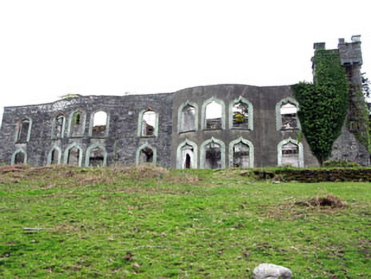 Glengarriff House Hotelcastle/fortified house · 1294 yd
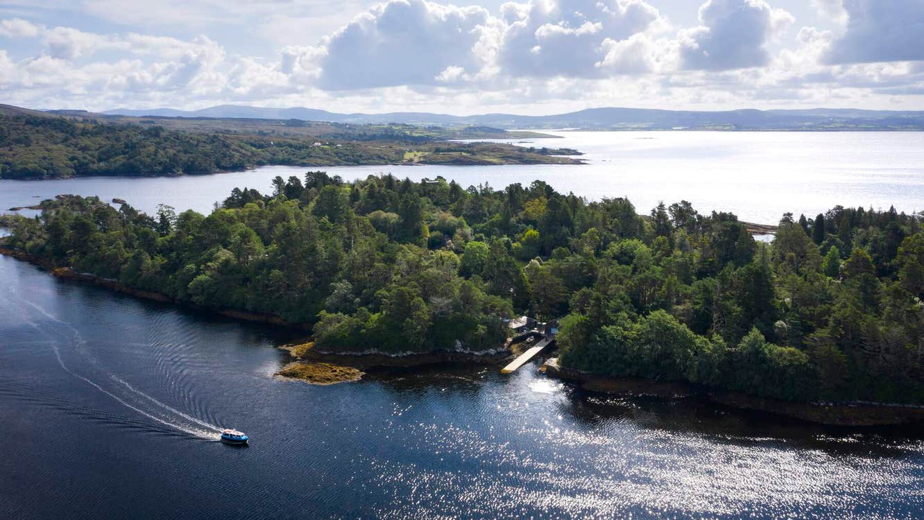 Garranboy IslandIslet · 1582 yd
 Derrycreha Househouse · 1584 yd
 Calf IslandIslet · 1725 yd
 Tasmanian bluegumTasmanian bluegum · 1.2 mi
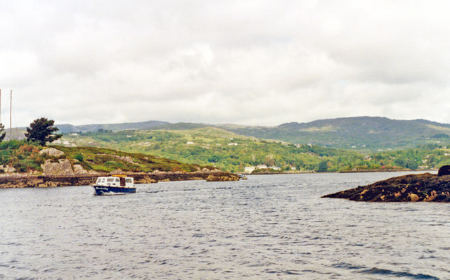 Glengarriff BayBay · 1.4 mi
 The Blue PoolHeritage attraction · 1.5 mi
 Bryce HouseMuseum · 1.6 mi
 Graveyard in CappyaughnaGraveyard · 1.7 mi
Other information
Photo: Credit not shown in the picture search · Rights wording not checked; contact us if this picture should be removed