What is recorded here
Standing stone is a pair in County Cork, Ireland, where a square upright faces a fallen companion across sixty centimetres of pasture. The upright rises one metre and ten centimetres from a hollow at the foot of a steep slope, aligned NNE-SSW like a needle marking an invisible line. The fallen stone lies prostrate beside it, perhaps knocked over by time, weather, or a passing cart. Together they form a minimal chamber, a doorway without walls, waiting for someone to remember what it opened.
In pasture, in a hollow at the foot of a steep N-facing slope. An upright stone (0.55m x 0.55m; H 1.1m) that is square in plan and aligned NNE-SSW stands 0.65m NNE of a prostrate stone (L 0.75m; 0.65m x 0.47m). Myler (1998, 93) records 'a cairn of stones in the ditch due north of these stones which may be just stones from field clearance work'.
The above description is derived from 'The Archaeological Inventory of County Cork. Volume 5' (Dublin: Stationery Office, 2009).
Date of upload: 29 January 2013
Likely dating to the Neolithic or Bronze Age, the pair may represent a boundary marker or ritual alignment. No specific folklore or use is recorded for this site.
The monument record does not grant public access. Check the route and ask the landowner before entering private land.
- What survives
- Recorded monument
Places near here
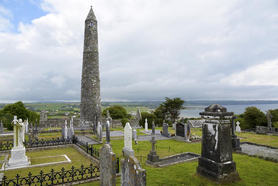 Burial ground in Ards More (west)Burial ground · 418 yd
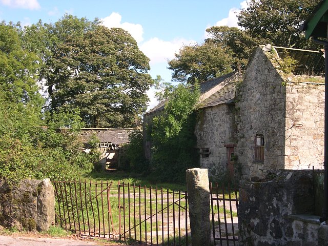 Childrens Burial Gd (Disused)Burial ground · 578 yd
 Church in InchicloghChurch · 1.8 mi
 Kealkill stone circleVisitor information · 1.9 mi
 Country house in InchicloghCountry house · 2.0 mi
 Mullach MéiseMountain / peak · 2.2 mi
 Carriganass CastleCastle · 2.6 mi
 Francis O'Neill PlaqueMemorial · 2.8 mi
 St Finbarr's Pilgrim RouteWalking route · 3.1 mi
 Bulls PocketMountain / peak · 3.2 mi
 Trawlebane WalkWalking route · 3.3 mi
 Castle (in Ruins)House, fortified house · 3.4 mi