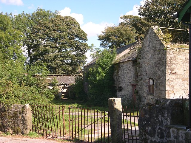
What is recorded here
Childrens Burial Gd in County Cork, Ireland is a disused subrectangular area, 17.3m long and 7.2m wide, enclosed by a stone wall, with small grave markers still visible inside the raised ground. It belongs to the time when West Cork families set aside even a narrow strip of pasture for the youngest dead, marking each child with a stone small enough to fit a child's life. The field has changed around it, but the wall and markers remain, holding a quiet chamber of names no longer spoken aloud.
Marked 'Burial Ground' on OS 6-inch map (1842). In pasture. Subrectangular area (L 17.3m; Wth 7.2m) enclosed by stone wall (H 0.9m). Some grave markers noted. Myler (1998, 94) records that 'the interior is raised above the level of the surrounding field and contains many small stone grave markers'.
The above description is derived from the published 'Archaeological Inventory of County Cork. Volume 1: West Cork' (Dublin: Stationery Office, 1992). In certain instances the entries have been revised and updated in the light of recent research.
Date of upload/revision: 29 January 2013
The monument record does not grant public access. Check the route and ask the landowner before entering private land.
- What survives
- Recorded monument
Places near here
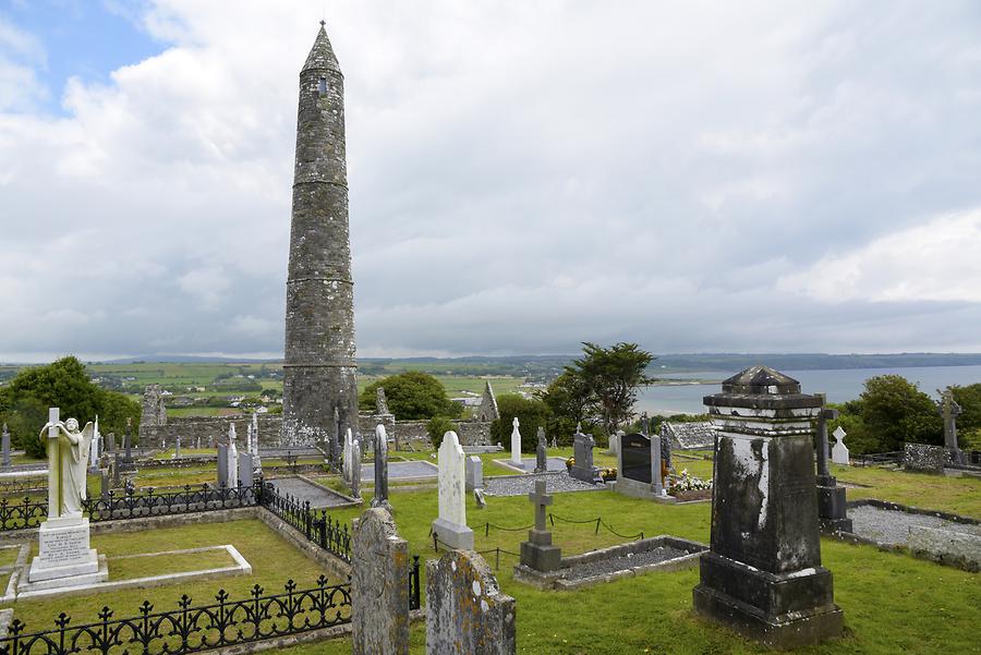 Burial ground in Ards More (west)Burial ground · 735 yd
 Man-made underground passage in Ards More (west)Man-made underground passage · 778 yd
 Church in InchicloghChurch · 1.5 mi
 Country house in InchicloghCountry house · 1.6 mi
 Kealkill stone circleVisitor information · 2.0 mi
 Mullach MéiseMountain / peak · 2.5 mi
 Francis O'Neill PlaqueMemorial · 2.6 mi
 Carriganass CastleCastle · 2.7 mi
 Trawlebane WalkWalking route · 3.1 mi
 Castle (in Ruins)House, fortified house · 3.1 mi
 Bulls PocketMountain / peak · 3.3 mi
 Ballylickey BayBay · 3.3 mi
Other information
Photo: Credit not shown in the picture search · Rights wording not checked; contact us if this picture should be removed