What is recorded here
Two standing stones are marked close together only on the 1940 ed. of the OS 6-inch map. They are located towards the top of an E-facing slope, with a col c. 300m to the W. An earthfast stone (dims c. 1.5m x c. 0.35m; H c. 1m) was described in 1939 with a second stone (dims c. 1.5m x c. 1.2m; max. H 0.9m at E), which might be bedrock, located c. 1.5m to the S (OSFM). Neither stone was visible at ground level in pasture in 1987.
The above description is derived from the published 'Archaeological Inventory of County Wexford' (Dublin: Stationery Office, 1996). In certain instances the entries have been revised and updated in the light of recent research.
Compiled by: Michael Moore
Date of upload/revision: 21 November 2012
Likely dating to the Bronze Age, the pair of standing stones may have served as markers for territorial boundaries or ritual purposes. No specific folklore or detailed archaeological investigation is recorded for this site.
The monument record does not grant public access. Check the route and ask the landowner before entering private land.
- What survives
- Recorded monument
Places near here
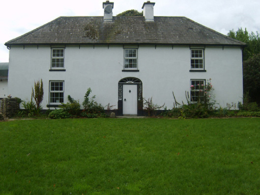 farm housefarm house · 997 yd
 CopseFairy fort / earthen ringfort · 1021 yd
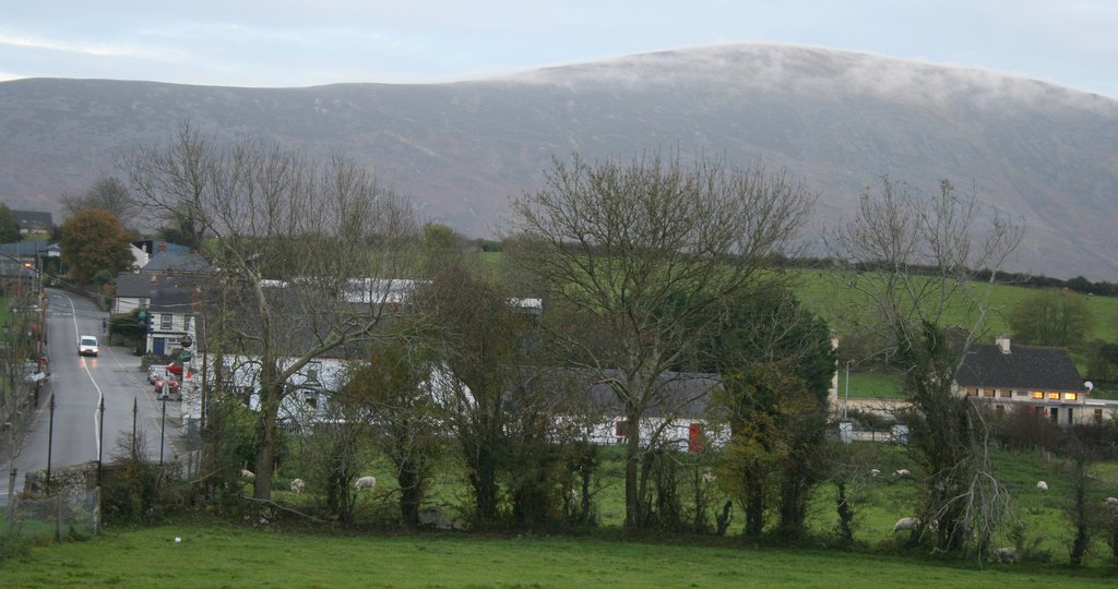 IndicatedFairy fort / ringfort · 1220 yd
 Corn MillMill, unclassified · 1.2 mi
 Craan HillMountain / peak · 1.3 mi
 Saint Brigid's WellSpring · 1.3 mi
 Kilmichael HillMountain / peak · 2.0 mi
 Mountnebo WoodForest · 2.3 mi
 Blue SchoolMemorial · 2.6 mi
 Ballingarry WoodForest · 3.4 mi
 1798 MonumentMemorial · 5.0 mi
 CastleCastle, motte · 5.8 mi