What is recorded here
Located on a N-facing slope of a short E-W ridge with a S-N spur extending N from the ridge c. 500m to the E. This is a circular, grass-covered area (diam. 30m) defined by an earthen bank (Wth 6–9m; int. H 1–1.8m; ext. H 3m). There is no visible fosse, but a record made in 1939 recrods a fosse (Wth of top c. 4.5m; int. D c. 1.5m; ext. D c. 1m) SE-SW (OSFM). The entrance (Wth 4.5m) is at NW, on the downslope side.
From the National Monuments Service (Archaeological Survey of Ireland) record WX006-036
Places near here
Picture notes
- Computer-made picture. It does not show this monument.
- Goreymurphy, Wikimedia Commons · CC BY-SA 4.0
- National Inventory of Architectural Heritage
- Computer-made picture. It does not show this walking route.
- Sarah777, Wikimedia Commons · Public domain
- Sarah777 at English Wikipedia, Wikimedia Commons · Public domain
- Willow, Wikimedia Commons · CC BY 2.5
- Computer-made picture. It does not show this playground.
- Jean-Pol GRANDMONT, Wikimedia Commons · CC BY 3.0
 Fairy fort / earthen ringfort in Clonamona Upper,knockbrandon UpperFairy fort / earthen ringfort · 953 ydComputer-made picture
 Standing stone in Monbay Upper,shrule (gorey By.)Standing stone · 1015 ydComputer-made picture
 Saint Brigid's WellSpring · 1371 yd
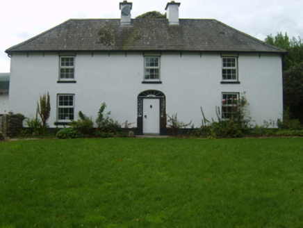 farm house1.1 mi
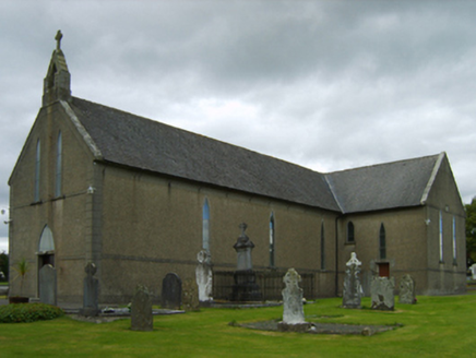 Saint Brendan's Catholic ChurchChurch/chapel · 1.7 mi
 Askamore Heritage TrailWalking route · 1.9 miComputer-made picture
 Slí na Sláinte - Bell's LaneWalking route · 3.2 miComputer-made picture
 SlieveboyMountain / peak · 3.6 mi
 Annagh HillMountain / peak · 4.8 mi
 European ash5.7 mi
 Children's playground6.2 miComputer-made picture
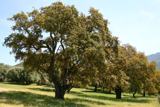 Cork oak6.2 mi
More archaeology and monuments in County Wexford · All of County Wexford

What do you know about this place?Tap to add a comment or ask a question