What is recorded here
Marked as a standing stone only on 1940 ed. of the OS 6-inch map, and situated on a S-facing slope c. 300m E of a col between hills that rise over it c. 600m to the SW and c. 500m to the NE. It was described in 1940 as 'three feet high (H c. 0.9m)' but enclosed in bushes (OSFM). The exact position is not marked, but it may have been in the NW-SE field bank and townland boundary between Monbay Upper and Shrule. The holy well (WX006-042----) is nearby.
The above description is derived from the published 'Archaeological Inventory of County Wexford' (Dublin: Stationery Office, 1996). In certain instances the entries have been revised and updated in the light of recent research.
Compiled by: Michael Moore
Date of upload/revision: 21 November, 2012
The monument record does not grant public access. Check the route and ask the landowner before entering private land.
- What survives
- Recorded monument
Places near here
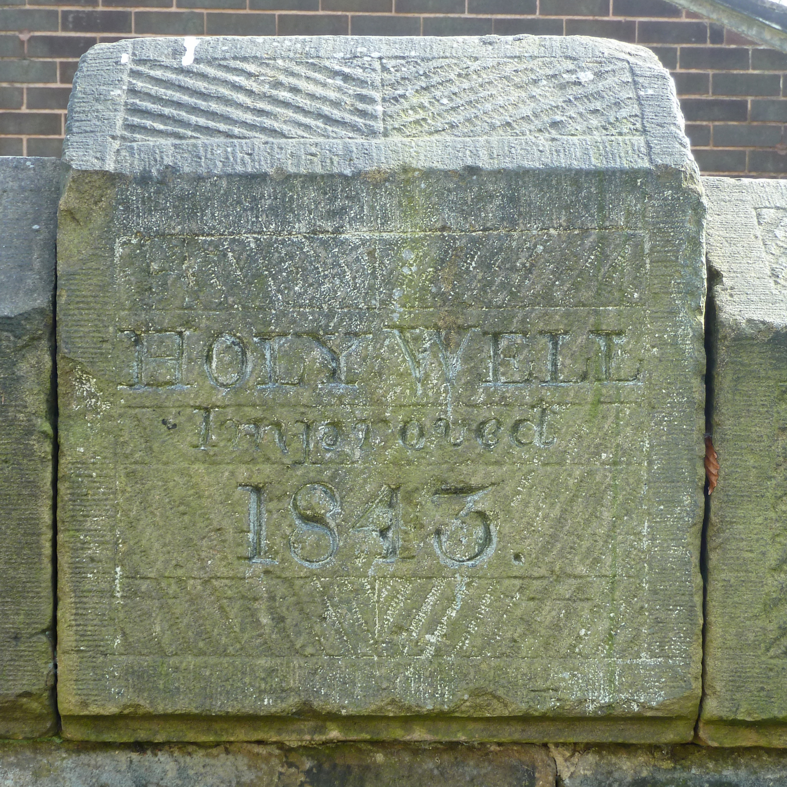 Holy Well (covd.)Holy well · 11 yd
 Enclosure in Brideswell LittleEnclosure · 1001 yd
 Saint Brigid's WellSpring · 1279 yd
 SlievegowerMountain / peak · 1.3 mi
 Saint Patrick's Catholic Churchpresbytery/parochial/curate's house · 1.6 mi
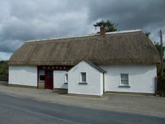 W. Doylehouse · 1.6 mi
 Blue SchoolMemorial · 1.9 mi
 Craan HillMountain / peak · 2.1 mi
 Mountnebo WoodForest · 3.1 mi
 Camolin WoodForest · 3.5 mi
 Embanked enclosureCastle, motte · 5.9 mi
 CastleCastle, motte · 6.7 mi