
What is recorded here
A mill at Monaseed was owned by Henry Masterson in 1640, but this was ruined by the time of the Civil Survey (1654-6) (Simington 1953, 7, 30). A mill is marked on the 1839 and 1924 eds of the OS 6-inch map at Millquarter on a W-facing slope in the valley of the N-S River Lask, c. 60m from the stream. The mill survives as a two-storey structure (ext. dims. 7.1m N-S; 6.1m E-W) with walls 0.6m thick. Two large beams support the first floor, but no milling equiptment survives. The head race (L c. 500m), still with a strong flow of water, runs parallel with the stream until it turns W along the N side of the mill. There is a later structure attached to the W of the mill. The date of the mill building is unknown but it is probably on the site of the original.
Compiled by; Michael Moore
Date of upload: 1 February, 2012
The monument record does not grant public access. Check the route and ask the landowner before entering private land.
- What survives
- Recorded monument
Places near here
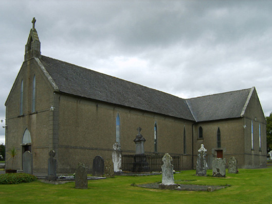 Saint Brendan's Catholic Churchchurch/chapel · 637 yd
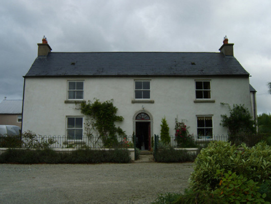 farm housefarm house · 736 yd
 Mass RockMass-rock · 845 yd
 Craan HillMountain / peak · 1465 yd
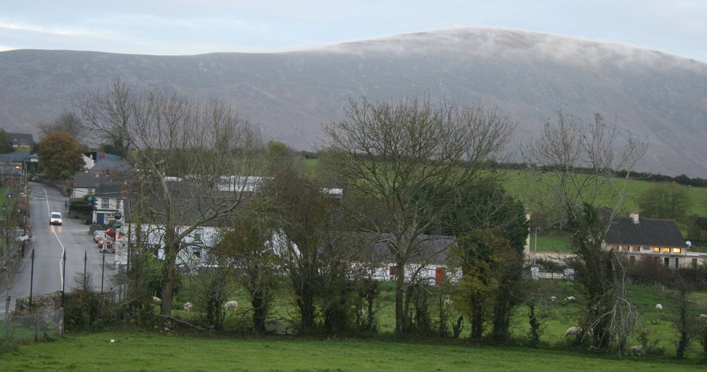 IndicatedFairy fort / ringfort · 1.2 mi
 Kilmichael HillMountain / peak · 1.3 mi
 Mountnebo WoodForest · 1.6 mi
 Saint Brigid's WellSpring · 2.3 mi
 Ballingarry WoodForest · 3.1 mi
 Blue SchoolMemorial · 3.6 mi
 1798 MemorialMemorial · 4.7 mi
 CastleCastle, motte · 4.9 mi
Other information
Photo: Credit not shown in the picture search · Rights wording not checked; contact us if this picture should be removed