
What is recorded here
From the National Monuments Service (Archaeological Survey of Ireland) record KE097-041
Places near here
Photo credits
- Maker not stated on source page, sacredsites.com
- Michael Earnshaw, Geograph · CC BY-SA 2.0
- Martin Creek, Wikimedia Commons · CC BY-SA 2.0
- Maker not stated on source page, monumentalireland.ie
- Jose Antonio Gutierrez D., Wikimedia Commons · CC BY-SA 4.0
- Maker not stated on source page, tr.pinterest.com
- Maker not stated on source page, www.ireland.com
- Maker not stated on source page, www.pinterest.com
- Marco Ober, Wikimedia Commons · CC BY-SA 4.0
- Jibi44, Wikimedia Commons · CC BY 2.5
- Maker not stated on source page, focusedcollection.com
 Holy well in Cill RialaighHoly well · 1178 yd
Explorer Tom Holy well in Cill Rialaigh would tell the cliff next door to stop showing off so much. It’s just a pool with some…
 Bolus PointHeadland · 1755 yd
Explorer Tom Bolus Point is a headland where locals swear if you wink at the Skelligs in the distance, they’ll wink back, though…
 Ceann BhólaisHeadland · 1.2 mi
Explorer Tom Ceann Bhólais is looking down its nose at tourists from Dublin, thinking they’re all just here to find the best pint in…
 Stone row in Na Leadhba LiathaStone row · 1.9 mi
Explorer Tom Stone row in Na Leadhba Liatha used to win every county fair. Now it’s one prostrate rock looking like it lost a fight…
 Wedge tomb in An Com (bar. Uíbh Ráthach)Wedge tomb · 1.9 mi
Explorer Tom Wedge tomb in An Com thinks one massive roof stone makes it look cool and mysterious. A goat used to rule this place…
 Mapped cemeteryCemetery · 2.2 mi
Explorer Tom This Mapped Cemetery in County Kerry was once run by a matchmaker who paired off ghosts so they wouldn’t get lonely in…
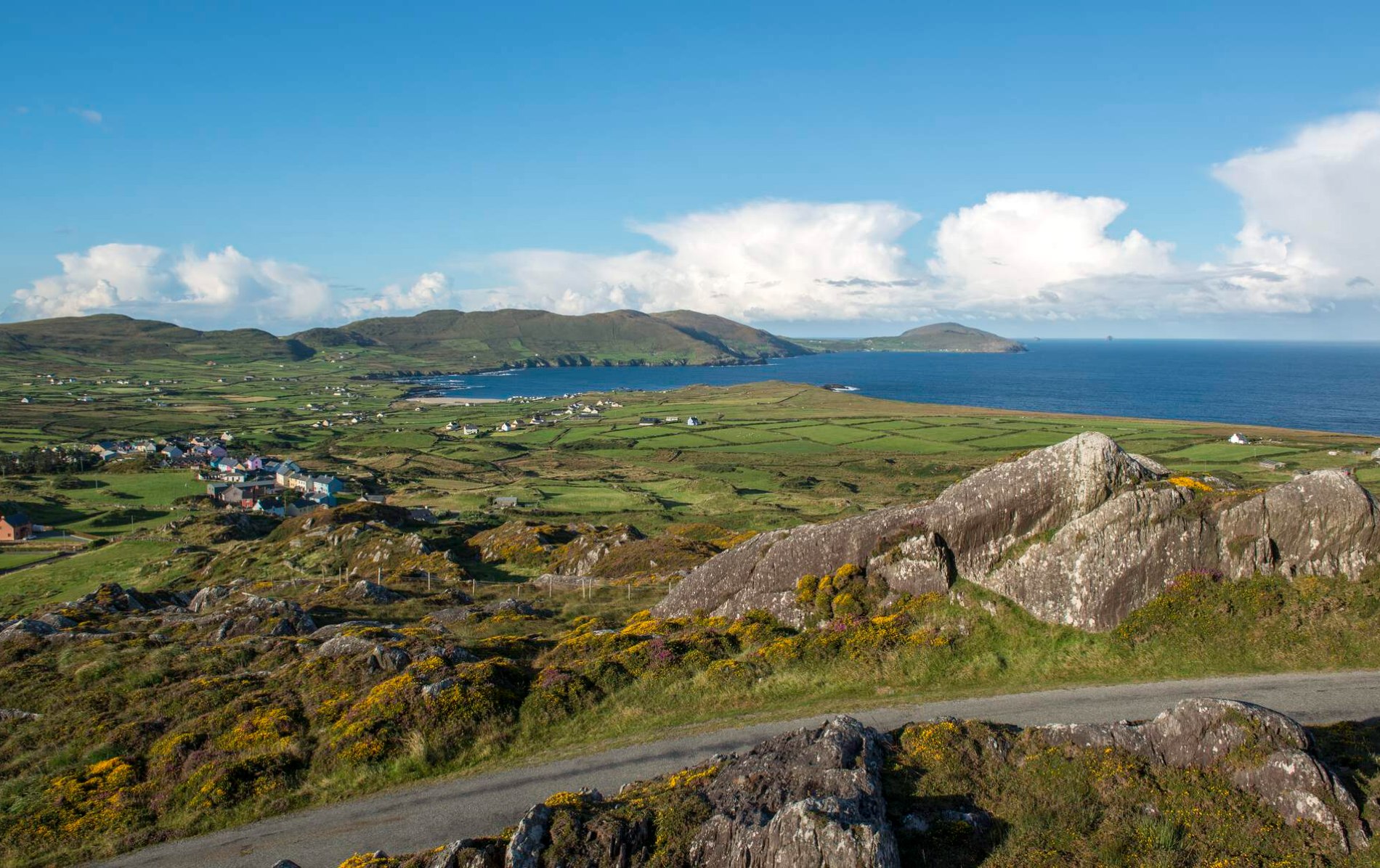 Oileán Chuas a' BháidIslet · 4.4 mi
Explorer Tom Oileán Chuas a' Bháid has been hiding a scandal involving a smuggler who lost his hat in the tide in 1842 and never got…
 Bulligacrowig RockIslet · 4.7 mi
Explorer Tom Bulligacrowig Rock has a hidden message carved into its stones that says 'I’m still here', which I think is honestly…
 Kerry CliffsHeritage attraction · 5.6 mi
Explorer Tom The Kerry Cliffs near Portmagee have a serious grudge against the weather for keeping them looking so perpetually wet…
 Bray Head Signal TowerRuins · 7.4 mi
Explorer Tom Bray Head Signal Tower is stuck in a feud with the family next door over who actually owns the best view of the…
 Skelligs LighthouseLighthouse · 9.4 mi
Explorer Tom Skelligs Lighthouse stands there looking mighty impressive, though the local sheep seem to think it's just a very tall…
 Graveyard in Inis Mhic AoibhleáinGraveyard · 21 mi
Explorer Tom Graveyard in Inis Mhic Aoibhleáin has a New Year's resolution to stop getting blown away by the Atlantic wind. It’s on…
More archaeology and monuments in County Kerry · All of County Kerry

What do you know about this place?Tap to add a comment or ask a question