What is recorded here
On the break of a N-facing slope in upland, mountainous terrain, formerly rough pasture. The stone pair is on the bank of an embanked barrow which is completely surrounded by coniferous forest, with grass and rushes growing on the monument. View dominated by Mother Mountain to the N, impeded by coniferous forestry to the E and S and blocked by rising slope to W.
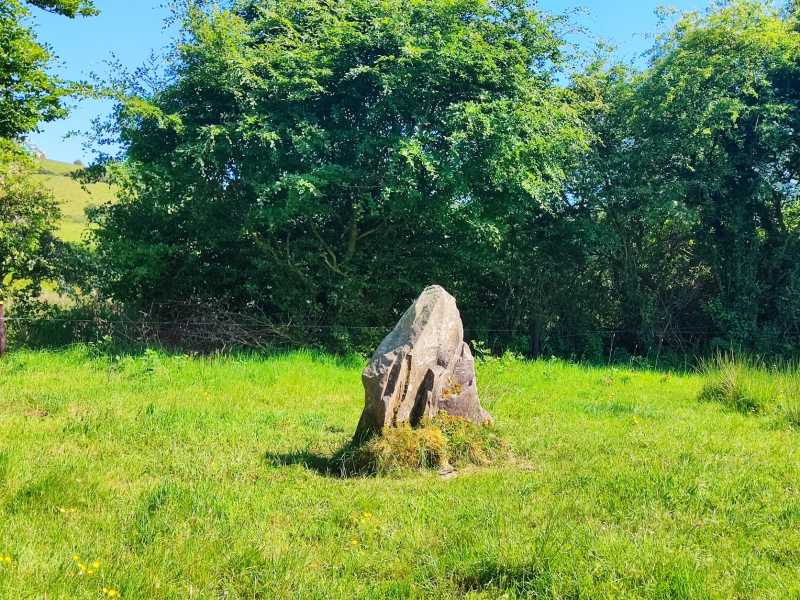
A stone pair aligned NE-SW, composed of grey Silurian sandstone, identified and reported by Derek Ryan. The stone to the SE is taller (H 1m) and roughly square in plan (max. Wth at base 0.63m x 0.62m) though possibly due to erosion the S side is badly spalled, giving a stepped appearance (base appears as an irregular pentagon Wth N 0.63m; E 0.62m; SE 0.36m; SW 0.26m; W 0.48m). The top of the stone is also quite eroded but does slope upwards towards the SW. The lower stone (H 0.68m), 0.2m to the SW, is roughly triangular in plan (base Wth at NW 0.3m; E 0.91m; SW 0.62m), tapering upwards to a SW peak. There is a raised trackway S of the stone pair, running across the barrow from WNW to ESE.
Compiled by: Jean Farrelly
Probably dating to the Neolithic or Bronze Age, the stone pair may have been part of a ritual or funerary landscape associated with the nearby barrow. Such stone settings could have marked territorial boundaries, aligned with celestial events, or served as focal points for local prehistoric belief systems.
The monument record does not grant public access. Check the route and ask the landowner before entering private land.
- What survives
- Recorded monument
Places near here
 Dermot & Granias Bed (Site of)Megalithic structure · 995 yd
 Enclosure in CoonmoreEnclosure · 1008 yd
 Gowlagh Bridgebridge · 1.2 mi
 Rear National Schoolschool · 1.3 mi
 MauherslieveMountain / peak · 1.9 mi
 Slieve Felim East TopMountain / peak · 3.3 mi
 Ballyhourigan WoodsForest · 6.0 mi
 Tower (in Ruins)Bawn · 6.6 mi
 Castle WellerCastle · 6.6 mi
 Sliev Felim WayVisitor information · 8.4 mi
 Killavalla WoodForest · 9.5 mi
 Graveyard in AbingtonGraveyard · 9.6 mi