
What is recorded here
From the National Monuments Service (Archaeological Survey of Ireland) record CW016-156
Places near here
Photo credits
- Ronnie Nijboer, Wikimedia Commons · CC0
- Maker not stated on source page, www.dreamstime.com
- National Inventory of Architectural Heritage
- Maker not stated on source page, commons.wikimedia.org
- Maker not stated on source page, www.tripadvisor.com.au
- Maker not stated on source page, www.tripadvisor.com.ph
- A.-K. D., Wikimedia Commons · CC BY-SA 4.0
- Maker not stated on source page, www.alamy.com
- Poleary91, Wikimedia Commons · CC BY-SA 4.0
- A.-K. D., Wikimedia Commons · CC0
- Maker not stated on source page, www.ampersandtravel.com
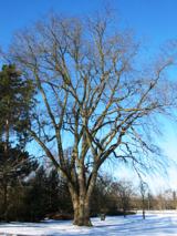 Wych Elm284 yd
Explorer Tom Wych Elm in County Carlow would post 'Me and my friends #blessed' with a photo of three twigs. It's very online despite…
 Mapped cemeteryCemetery · 602 yd
Explorer Tom Mapped cemetery in County Carlow refuses to fall down because it knows exactly how much drama it can get away with…
 mill (water)924 yd
Explorer Tom This mill in Kilcarrig has been converted into a house, so the waterwheel is just sitting there looking very confused…
 Earthwork in SeskinryanEarthwork · 1124 yd
Explorer Tom Earthwork in Seskinryan is a ringfort that forgot to build the walls and just dug a hole instead. A priest lost a bet…
 Bagenalstown Railway StationBuilding misc · 1450 yd
Explorer Tom Bagenalstown Railway Station in Kilcarrig is basically a shelter with a serious identity crisis, wearing granite piers…
 Kilmolappoge Church (Site of )Church · 1530 yd
Explorer Tom Kilmolappoge Church (Site of) in Donore is defined by low banks with a few stones sticking out, which looks less like a…
 Enclosure in DonoreEnclosure · 1613 yd
Explorer Tom Enclosure in Donore is where a cow once tried to buy the place using only manure as currency. The rectangular structure…
 The Columban WayVisitor information · 1.1 mi
Explorer Tom The Columban Way had a matchmaker who worked there for decades, pairing up lonely walkers with particularly handsome…
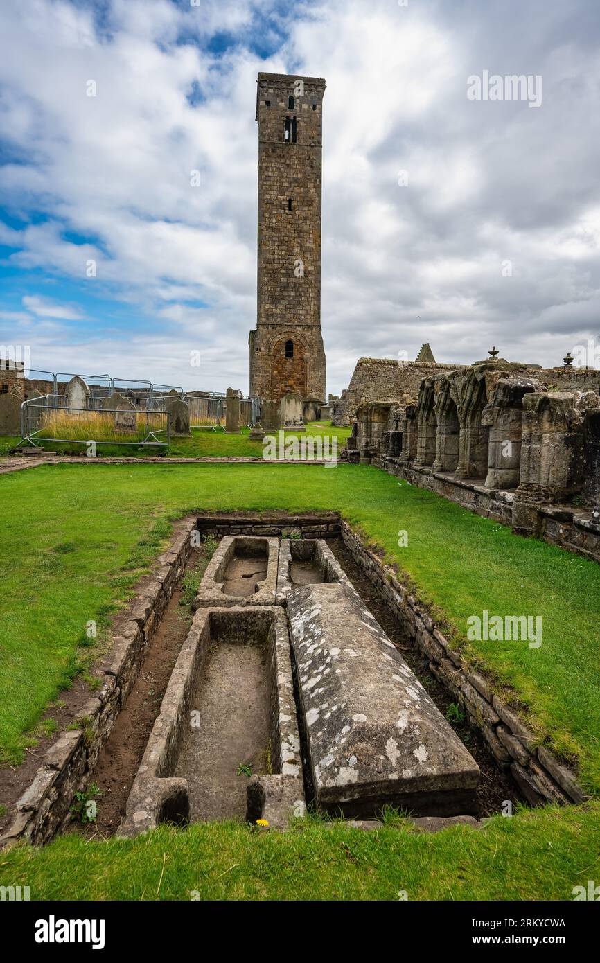 McGrath Park, St. Andrew'sGAA ground · 1.1 mi
 Ballymoon Castle (in ruins)Castle, Anglo-Norman masonry castle · 1.2 mi
Explorer Tom Ballymoon Castle in County Carlow is doing a bit of a disappearing act for you. Some bloke from the Carew family threw…
 Lock Keeper's House and Lodge MillsVisitor information · 1.5 mi
Explorer Tom Lock Keeper's House and Lodge Mills in County Carlow is where the rabbits hold their weekly strategy meetings to take…
 CastleCastle, unclassified · 1.9 mi
Explorer Tom The smaller castle in Killinane might be a tower house, or just a very shy block of stone. I bet it would bring a…
More archaeology and monuments in County Carlow · All of County Carlow

What do you know about this place?Tap to add a comment or ask a question