What is recorded here
Not a chamber, not a castle, not a hidden room, only a standing stone beside the Rath of Feewore. The claim is not that it is extraordinary; it is that it is still there, visible and misremembered. People want mysteries. The place offers less: a stone, a field, and the end of invented story.
In a small coniferous tree plantation, c. 60m NNW of the 'Rath of Feewore' (GA097-150001-). This well-preserved upright granite boulder, aligned N-S, is quadrangular in plan and narrows towards the top (H 0.67m; Wth 0.89m on E elevation). A granite boulder, which does not appear to be set, lies c. 10m to the SE (Cody 1989, 165-6). Raftery (1944, 24-5, 31, Fig. 1) also records two other possible standing stones (GA097-150005-) close to the rath.
Compiled by: Olive Alcock
Date of upload: 3 August 2018
Probably dates to the Bronze Age (c. 2500–500 BCE) based on its form and context near a ringfort. It may have had a ceremonial or territorial function, though specific folklore or symbolic meaning is not recorded.
The monument record does not grant public access. Check the route and ask the landowner before entering private land.
- What survives
- Recorded monument
Places near here
 Galboley Castle (in ruins)Castle, unclassified · 905 yd
 Turoe StoneHeritage attraction · 961 yd
 IndicatedEnclosure · 962 yd
 Enclosure in BallykeeranEnclosure · 995 yd
 R.C. ChapelChurch · 1649 yd
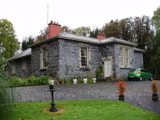 Rathville Housecountry house · 1.4 mi
 Bawn in Cahernamuck WestBawn · 1.9 mi
 Barrack IslandIslet · 3.9 mi
 Middle IslandIslet · 3.9 mi
 Dartfield Horse MuseumHeritage attraction · 4.5 mi
 Long PointHeadland · 4.7 mi
 Scalpeen RockNamed rock · 9.2 mi