What is recorded here
There is now no trace of the standing stone marked on the 1st edition of the OS 6-inch map. It was located on the S slope of the gorse-covered Tullycleave Hill.
The above description was derived from the 'Archaeological Survey of County Donegal. A description of the field antiquities of the County from the Mesolithic Period to the 17th century.' Compiled by: Brian Lacey with Eamon Cody, Claire Cotter, Judy Cuppage, Noel Dunne, Vincent Hurley, Celie O'Rahilly, Paul Walsh and Seán Ó Nualláin (Lifford: Donegal County Council, 1983). In certain instances the entries have been revised and updated.
Date of upload: 22 September 2008
The monument record does not grant public access. Check the route and ask the landowner before entering private land.
- What survives
- Recorded monument
Places near here
 Owenea Bridgebridge · 986 yd
 Fionn Mc Cumhaill standing stonePublicly named standing stone · 1022 yd
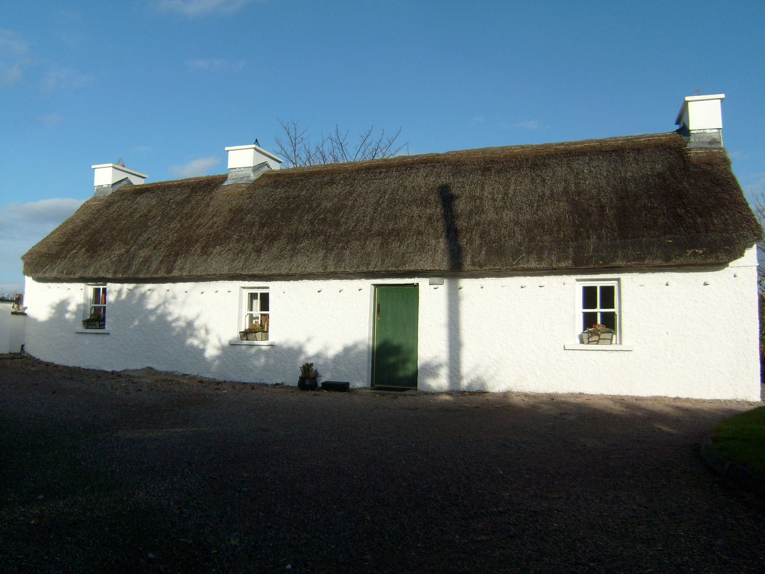 Beagh Cottagehouse · 1.3 mi
 Ardara FortFairy fort / earthen ringfort · 1.3 mi
 John DohertyMemorial · 1.4 mi
 Carrickalahagh HeadlandPublicly named cliff or headland · 3.1 mi
 IllancreeveIslet · 3.3 mi
 Bonny Glen Wood - Bonny Glen walkOfficial walking route · 3.5 mi
 Bonny Glen WoodForest recreation place · 3.5 mi
 Tramore StrandBeach / strand · 3.6 mi
 Doon FortFairy fort / stone ringfort · 3.7 mi
 CastleRuins · 4.0 mi