What is recorded here
On a shelf of level pasture 30m above a NE-SW stream/drain. This irregularly shaped limestone block (H 1.3m; Wth 1.2m; T 0.1-0.39m) is aligned NE-SW and tapers to a point.
Compiled by: Patrick F. O'Donovan
Date of upload: 16 January 2013
Probably dating to the Late Neolithic or Bronze Age, this standing stone may have had ritual or territorial significance, possibly aligned with seasonal or astronomical events given its NE-SW orientation. No specific folklore or use is recorded for this site.
The monument record does not grant public access. Check the route and ask the landowner before entering private land.
- What survives
- Recorded monument
Places near here
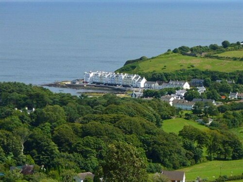 Enclosure in TromraEnclosure · 160 yd
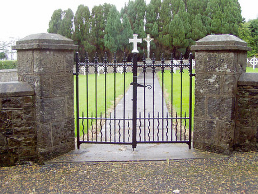 Convent of Mercygraveyard/cemetery · 914 yd
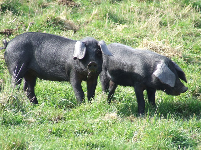 Dunclá or Black Pigs RaceArchaeological place · 979 yd
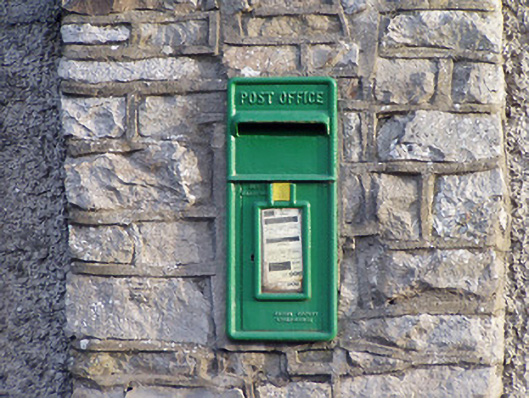 post boxpost box · 1039 yd
 Bakers FortCastle, ringwork · 1249 yd
 1798 Monumentmonument · 1385 yd
 Granard MotteMotte-and-bailey castle remains · 1503 yd
 CastleCastle, unclassified · 1524 yd
 CartronfreeMountain / peak · 2.3 mi
 Derrycassan WoodsWood · 3.3 mi
 ToomeMountain / peak · 3.7 mi
 InchmoreIslet · 3.8 mi