What is recorded here
Marianne said the stone was a woman turned to rock for laughing at a grieving man. She pointed at its narrow shape and the way it leaned into the hill wind. The story may be false, but it explained why the place still felt occupied long after the people left it.
In rough grazing, on a SW-facing hillslope overlooking Bantry Bay. This standing stone (0.72m x 0.11m; H 1.05m) is orientated N-S. Part of the walking route known as the Beara Way is 2m to the S of the stone.
The above description is derived from 'The Archaeological Inventory of County Cork. Volume 5' (Dublin: Stationery Office, 2009).
Date of upload: 22 December 2009
The monument record does not grant public access. Check the route and ask the landowner before entering private land.
- What survives
- Recorded monument
Places near here
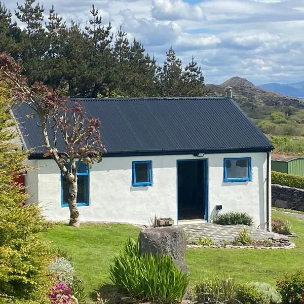 Hut site in Tilickafinna (dursey Island)Hut site · 172 yd
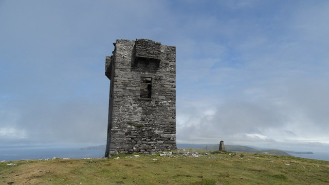 Cnoc BólaisMountain / peak · 267 yd
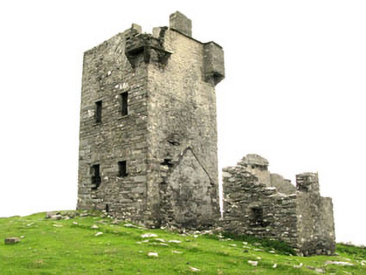 Dursey Watch Towersignal tower · 299 yd
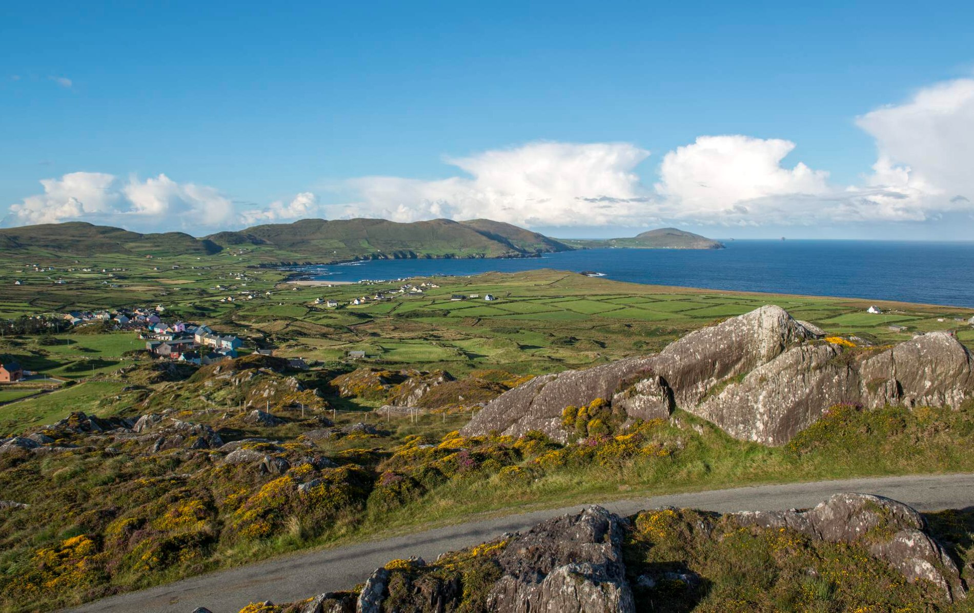 Enclosure in Kilmichael (dursey Island)Enclosure · 716 yd
 Dursey IslandIsland · 880 yd
 Dursey Island National Schoolschool · 1.1 mi
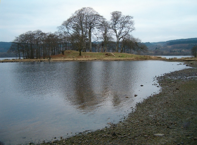 Crow IslandIslet · 2.1 mi
 Fort (in Ruins)Castle, unclassified · 2.2 mi
 The CalfIslet · 2.4 mi
 Dursey Cable CarHeritage attraction · 2.4 mi
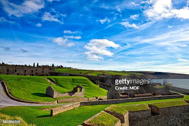 TranaduileasgBeach / strand · 3.6 mi
 Garnish StrandBeach / strand · 3.6 mi