What is recorded here
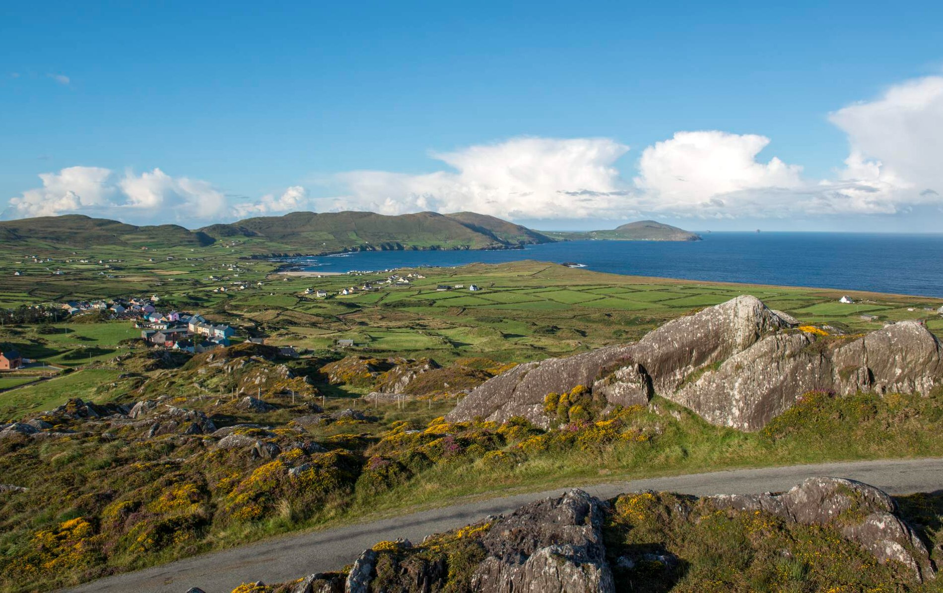
Dursey Island is a shallow sea disc where ancient walls still stand beside abandoned turf stacks, proving the land has always belonged to human hands. The enclosure in Kilmichael keeps its circular shape beneath rushes, while stones taken from part of its boundary were reborn as a local turf stand. That reuse turns an archaeological marker into a living record: even forgotten places continue giving up their material to whoever needs heat, light or memory.
In rough hill pasture, within a network of pre-bog walls (CO126-028003-) on a break on the N-facing slopes of Dursey Island. A circular area (9m N-S; 8.3m E-W) is defined by the remains of a stone wall (T 0.9m; H 0.75m) consisting mainly of non-contiguous upright slabs set radially along the perimeter. These are best displayed W-SSE. It appears that stones from the SSE-W arc were used to make the now abandoned turf stand for stacking turf c. 5m to the W. The entrance (Wth 1m) is at N. The entire enclosure is obscured by rushes. There is a fulacht fia (CO126-028002-) c. 50m to the ENE.
The above description is derived from 'The Archaeological Inventory of County Cork. Volume 5' (Dublin: Stationery Office, 2009).
Date of upload: 22 December 2009
The monument record does not grant public access. Check the route and ask the landowner before entering private land.
- What survives
- Recorded monument
Places near here
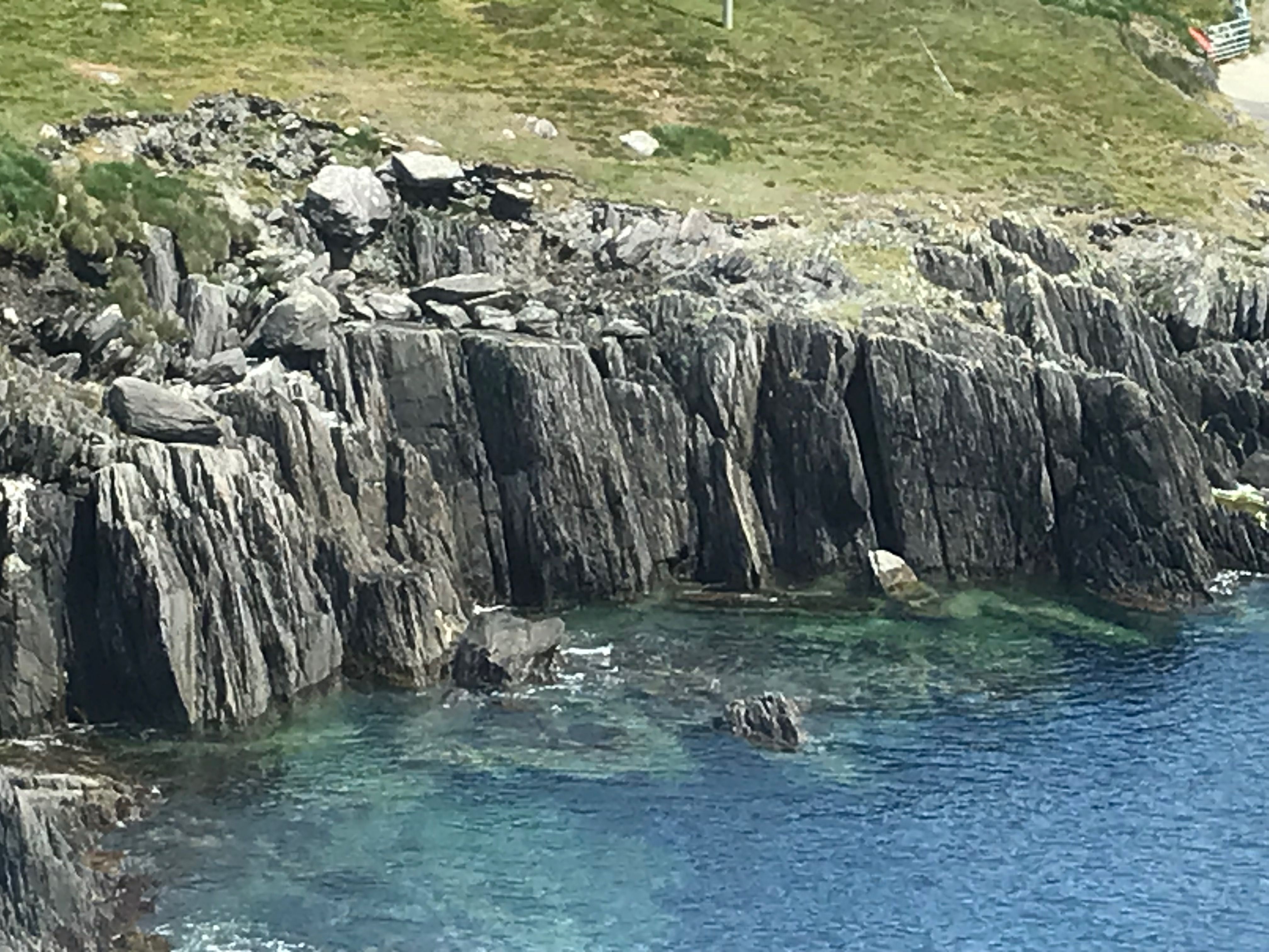 Fulacht fia in Kilmichael (dursey Island)Fulacht fia · 63 yd
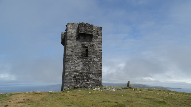
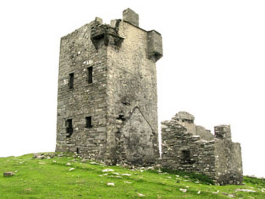 Dursey Watch Towersignal tower · 471 yd
 Cnoc BólaisMountain / peak · 481 yd
 Dursey IslandIsland · 661 yd
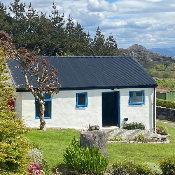 Hut site in Tilickafinna (dursey Island)Hut site · 881 yd
 Dursey Island National Schoolschool · 1447 yd
 Fort (in Ruins)Castle, unclassified · 1.9 mi
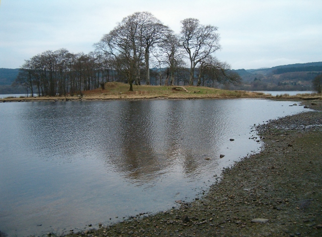 Crow IslandIslet · 2.1 mi
 Dursey Cable CarHeritage attraction · 2.1 mi
 The CalfIslet · 2.8 mi
 TranaduileasgBeach / strand · 3.2 mi
 Garnish StrandBeach / strand · 3.3 mi
Other information
Photo: Credit not shown in the picture search · Rights wording not checked; contact us if this picture should be removed