What is recorded here
Templenacarriga South in County Cork, Ireland once rose one and a half metres above the earth. The standing stone disappeared in 1965, leaving behind an empty patch of soil where witness and memory had gathered.
According to local information, stone (H c. 1.5m) was removed in 1965.
The above description is derived from the published 'Archaeological Inventory of County Cork. Volume 2: East and South Cork' (Dublin: Stationery Office, 1994). In certain instances the entries have been revised and updated in the light of recent research.
Date of upload/revision: 14 January 2009
The monument record does not grant public access. Check the route and ask the landowner before entering private land.
- What survives
- Recorded monument
Places near here
 Templenacarriga Church (in Ruins)Church · 177 yd
 rectory/glebe/vicarage/curate's houserectory/glebe/vicarage/curate's house · 401 yd
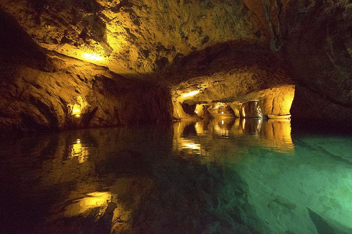 Man-made underground passageMan-made underground passage · 1300 yd
 IndicatedFairy fort / earthen ringfort · 1698 yd
 Curragh WoodsWood · 1.7 mi
 Graveyard in Broomfield WestGraveyard · 2.3 mi
 Leamlara Castle (in Ruins)Castle, tower house · 2.8 mi
 Midleton IRA MonumentMemorial · 3.4 mi
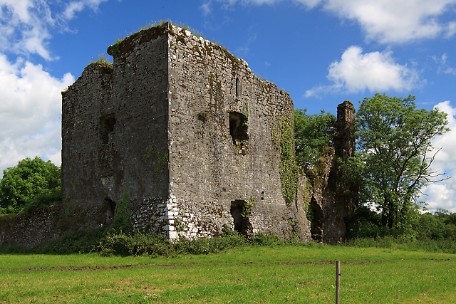 Cahermone Castle (in Ruins)Castle, tower house · 3.6 mi
 Noel Collins BridgeVisitor information · 4.2 mi
 Ballyannan (Bluebell) WoodsForest · 4.4 mi
 Clonmult Ambush SiteBattlefield · 4.5 mi