What is recorded here
The official Northern Ireland record identifies this as STANDING STONE. Recorded period: UNCERTAIN; PREHISTORIC. The official map point was placed at the centre of the recorded archaeological site from the source map reference.
A local standing stone or piece of rock art; wider significance not recorded.
The monument record does not grant public access. Check the route and ask the landowner before entering private land.
- What survives
- Recorded monument
Places near here
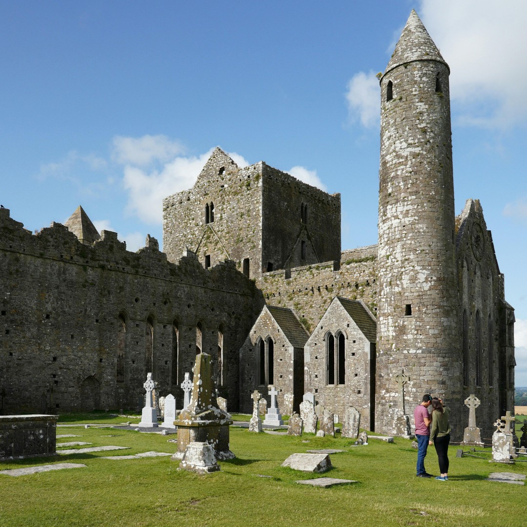 Cashel WoodForest · 1480 yd
 WEDGE TOMB: DERMOT & GRANIA'S BED in Dunnamore, DunamoreWEDGE TOMB: DERMOT & GRANIA'S BED · 1.6 mi
 Evishessan BridgeBridge · 1.8 mi
 Formil WoodForest · 2.1 mi
 ENCLOSURE in DunnamoreENCLOSURE · 2.2 mi
 An CreagánHeritage attraction · 2.5 mi
 Beaghmore Stone CirclesVisitor information · 2.7 mi
 OughtmoreMountain / peak · 4.5 mi
 CrocknamoghilMountain / peak · 5.7 mi
 GRAVEYARD: RELIGNAMAN or RELICKNAMAN from RELIG NA MBAN The Women's' Graveyard in CarrickmoreGRAVEYARD: RELIGNAMAN or RELICKNAMAN from RELIG NA MBAN The Women's' Graveyard · 6.1 mi
 PLANTATION HOUSE & BAWN in THE BonnPLANTATION HOUSE & BAWN · 6.8 mi
 Kildress Old ChurchRuins · 6.8 mi