What is recorded here
Situated on a a level landscape. This is an upright stone with a rectangular cross-section (dims. 0.95m x 0.4-0.6m; H 1.05m) and pointed top, oriented ENE-WSW.
The above description is derived from the published 'Archaeological Inventory of County Waterford' (Dublin: Stationery Office, 1999). In certain instances the entries have been revised and updated in the light of recent research.
Compiled by: Michael Moore.
Date of upload/revision: 5th May, 2011.
Likely dating to the Bronze Age (c. 2500–500 BCE), this standing stone may have marked a territorial boundary or served a ceremonial function. Its orientation and form suggest possible ritual or astronomical significance, though specific folklore or use remains unrecorded.
The monument record does not grant public access. Check the route and ask the landowner before entering private land.
- What survives
- Recorded monument
Places near here
 Catholic Church of the Holy Crosschurch/chapel · 178 yd
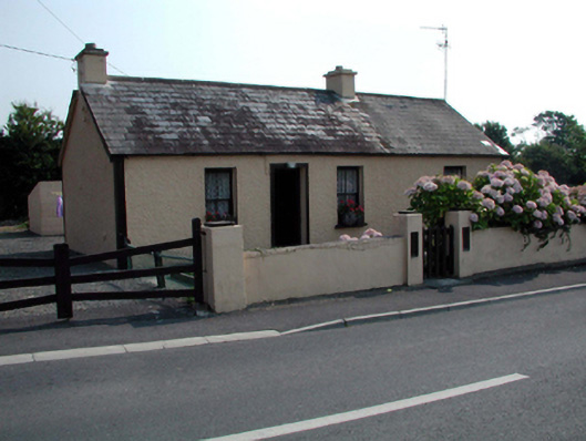 Hawthorn Cottagehouse · 394 yd
 Embanked enclosureEnclosure · 910 yd
 Stradbally Geological SundialHeritage attraction · 974 yd
 StradballySettlement cluster · 1063 yd
 Castle (in ruins)Castle, unclassified · 1708 yd
 Stradbally CoveBeach / strand · 1.0 mi
 Bawn in Castlequarter (decies Without Drum By., Kilrossanty Par.)Bawn · 2.3 mi
 Grange WellSpring · 2.6 mi
 Ballydowane CoveBeach / strand · 2.8 mi
 Trá na mBóVisitor information · 4.0 mi
 Bunmahon Miners' CottagesVisitor information · 4.3 mi