What is recorded here
Cutaway bog has swallowed the ground around it, but the stone still stands in the E-W gap on Mount Gabriel's SW slopes. Rough pasture and rain have blurred every human trace except the stone itself. It leans slightly south, top surface rising toward the centre as if still adjusting to the tilt of the world. Whatever it marked has dissolved into the bog, leaving only the stone to keep the shape of the forgotten request.
In rough pasture, on cutaway bog in an E-W gap on the SW slopes of Mount Gabriel. This standing stone (0.85m x 0.42m; H 0.95m) is rectangular in plan and is orientated E-W. It leans slightly to the S and its top surface slopes up towards the centre.
The above description is derived from 'The Archaeological Inventory of County Cork. Volume 5' (Dublin: Stationery Office, 2009).
Date of upload: 22 December 2009
Likely dating to the Neolithic or Bronze Age, this standing stone may have had ceremonial or territorial significance, possibly linked to wider ritual landscapes in the Mount Gabriel area. No specific folklore or use is recorded for this site.
The monument record does not grant public access. Check the route and ask the landowner before entering private land.
- What survives
- Recorded monument
Places near here
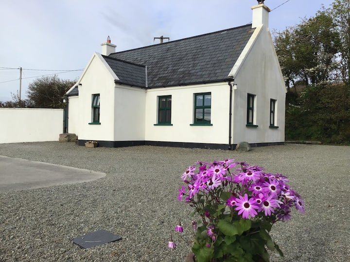 Enclosure in Skeagh (carbery West (w.d) By.)Enclosure · 602 yd
 Hut site in Skeagh (carbery West (w.d) By.)Hut site · 679 yd
 Mount Gabriel View Point toward NorthViewpoint · 1343 yd
 Mount Gabriel View Point toward SouthViewpoint · 1483 yd
 Mount GabrielMountain / peak · 1484 yd
 MineMine, copper · 1.1 mi
 Cadogan's StrandHeritage attraction · 1.1 mi
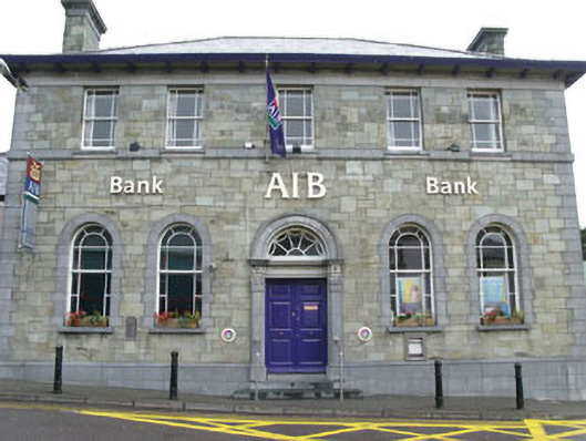 Allied Irish Bankbank/financial institution · 1.2 mi
 Schull HarbourBay · 1.8 mi
 Bawn in ArdintenantBawn · 2.0 mi
 Coosheen PointHeadland · 2.3 mi
 KnockaughnaMountain / peak · 2.8 mi