What is recorded here
Situated at a break in slope, at the base of a NE-SW ridge (SE side), in wet, marshy upland terrain, under pasture. This is a squat, blocky conglomerate (H 0.57m; dims. 0.64m x 0.57m). It has a sloping, flat top rising to the NNE. An ash tree and a whitethorn tree are growing beside it.
Compiled by: Caimin O'Brien.
Date of upload: 22 September 2008
Likely dating to the Neolithic or Bronze Age, this standing stone may have functioned as a territorial marker or ritual focus within a wider landscape of prehistoric activity. Its positioning at a break in the slope suggests a possible alignment or symbolic relationship with the surrounding terrain, though specific folklore or use remains unrecorded.
The monument record does not grant public access. Check the route and ask the landowner before entering private land.
- What survives
- Recorded monument
Places near here
 Drumbane CastleCastle · 1.0 mi
 ToberpatrickHoly well · 1.1 mi
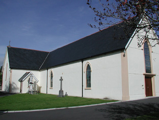 Saint Mary's Catholic Churchchurch/chapel · 1.1 mi
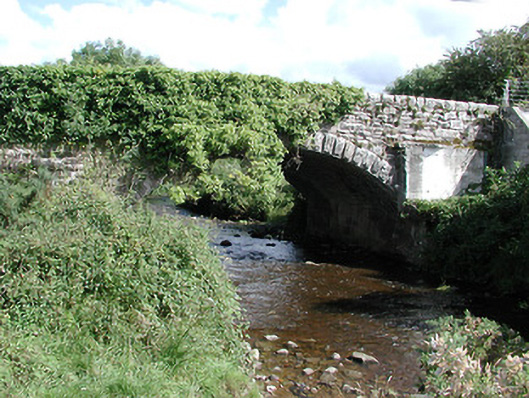 Mulgrave Bridgebridge · 1.2 mi
 Enclosure in RoskeenEnclosure · 1.4 mi
 KnockaneMountain / peak · 1.6 mi
 CastleCastle, motte and bailey · 1.9 mi
 Pallas HillMountain / peak · 2.3 mi
 Drum WoodWood · 3.1 mi
 Cormackstown Heritage CentreMuseum · 4.3 mi
 Kilvilcorris BogForest · 6.6 mi
 Templemichael Church (in Ruins), Grave Yd.Church · 1.2 mi