What is recorded here
In flat reclaimed grassland in upland region with good views in all directions. Situated in 75m from the roadway located to the N of the possible monument. The site consists of a small orthostat with a rectangular cross-section (dims.0.52m x 0.23m; H 0.86m ) orientated on a N-S axis and sloping out of the ground from W to E. A rough circular area around the stone is defined by loosely piled boulders of varying shapes and sizes to form a circular area (diam. N-S 10m; E-W 8m). The stone is located approximately in the centre of this circular area. A lot of these boulders have the appearance of field cleanace debris which has been dumped around the orthostat possibly when the field was being reclaimed . Around the base of the standing stone there are several small stones protruding above the surface of the ground. It is not clear whether this natural rock outcrop or man-made features associated with the orthostat. Possible standing stone which has been used as a place for dumping field clearance material when field was being reclaimed.
Compiled by: Caimin O'Brien.
Date of upload: 22 September 2008
The monument record does not grant public access. Check the route and ask the landowner before entering private land.
- What survives
- Recorded monument
Places near here
 Outlined, KnockaunnamoughillyEnclosure, large enclosure · 677 yd
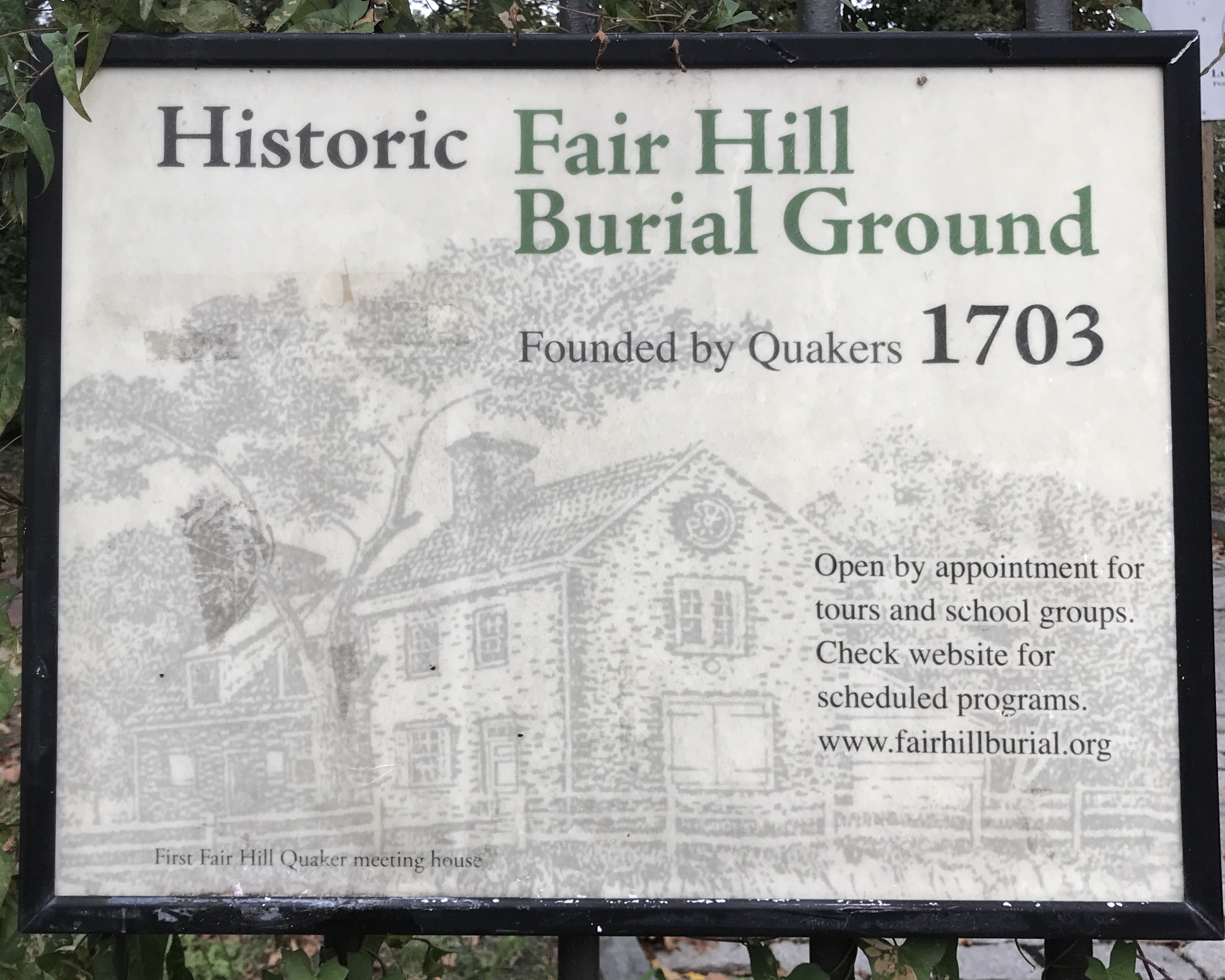 Kill Burial Ground for ChildrenChildren's burial ground · 1326 yd
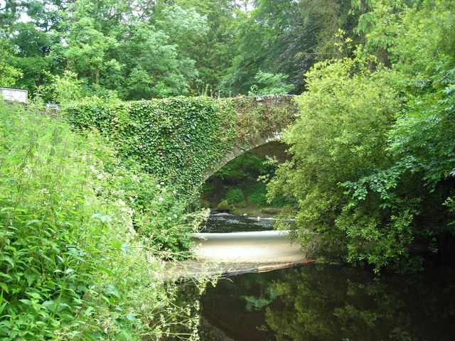 Clare Bridgebridge · 1.1 mi
 Site of Derryleigh CastleCastle, unclassified · 1.3 mi
 Wall monument (present location) in Boarmanshill,garranbaneWall monument (present location) · 1.5 mi
 Castle WellerCastle · 2.0 mi
 Slieve Felim WayWalking route · 2.4 mi
 Sliev Felim WayVisitor information · 2.8 mi
 Slieve FelimMountain / peak · 2.9 mi
 Slieve Felim East TopMountain / peak · 4.0 mi
 Graveyard in AbingtonGraveyard · 4.2 mi
 Ballyhourigan WoodsForest · 5.2 mi