What is recorded here
One of three stones marked on Mrs Hallinan's land in Scarteen Lower still stands eighteen inches tall and eight feet seven inches around. Bowman measured the stone in 1934, but the exact spot has slipped from local memory. The stone may have guided herds, marked a boundary or watched a road no longer drawn. It keeps the shape of a place even when the name of the place has faded.
One of three stones (10160, 10161) recorded by Bowman (1934, 131) on Mrs Hallinan's land, '...1ft 9in high, 8ft 7in girth'. Exact location not known.
The above description is derived from the published 'Archaeological Inventory of County Cork. Volume 4: North Cork' (Dublin: Stationery Office, 2000). In certain instances the entries have been revised and updated in the light of recent research.
Date of upload/revision: 14 January 2009
The monument record does not grant public access. Check the route and ask the landowner before entering private land.
- What survives
- Recorded monument
Places near here
 The Video Libraryschool · 858 yd
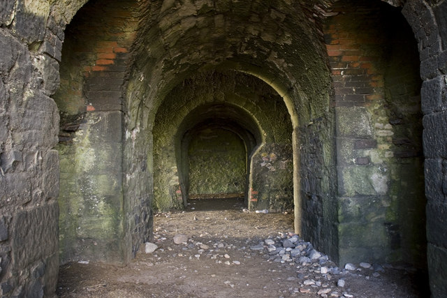 KilnKiln, lime · 884 yd
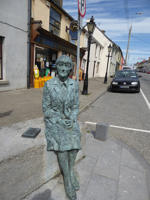 Alice Taylor MonumentMonument · 923 yd
 Fulacht FiadhFulacht fia · 1221 yd
 CastleCastle, unclassified · 1260 yd
 Castle McAuliffe (Site of)Castle, unclassified · 1.8 mi
 Stanner's Glen, Priory WoodWood · 2.0 mi
 KnockacummerMountain / peak · 4.9 mi
 Hanna SheehyMemorial · 5.0 mi
 Kanturk CastleHeritage attraction · 5.8 mi
 Burial ground in AssolasBurial ground · 7.5 mi
 European YewEuropean Yew · 7.8 mi