What is recorded here
Situated on top of a broad, flat ridge in upland pasture. Extensive views in all directions except to W. The stone (H 1.46m; dims. 0.93 x 0.32), composed of shaley limestone, is aligned N-S; the weathered top rises to a point. There is a hollow around the base of the stone caused by cattle.
Compiled by: Caimin O'Brien.
Date of upload: 22 September 2008
The monument record does not grant public access. Check the route and ask the landowner before entering private land.
- What survives
- Recorded monument
Places near here
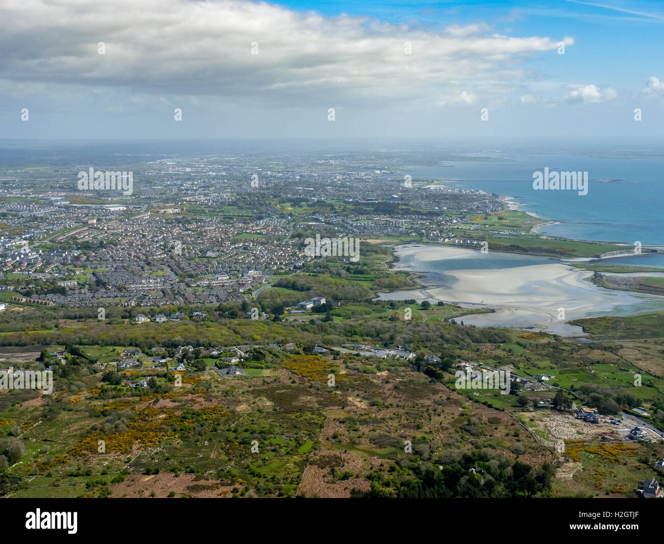 Enclosure in Rusheen MoreEnclosure · 1266 yd
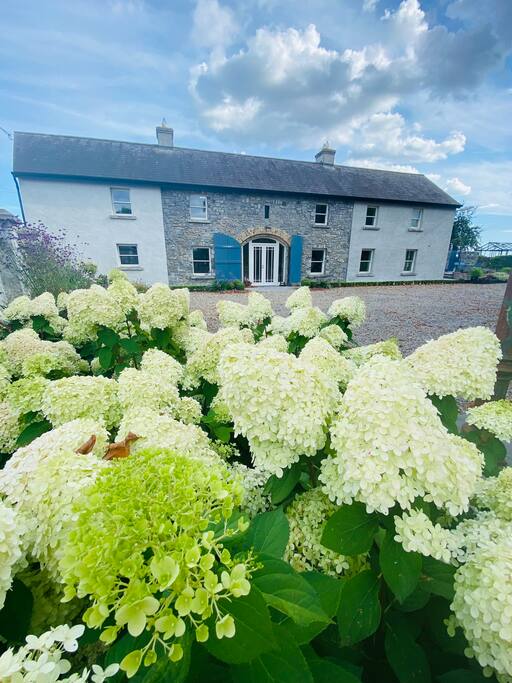 Fulacht fia in GortnahallaFulacht fia · 1437 yd
 Saint Patrick's National Schoolschool · 1.3 mi
 Catholic Church of the Sacred Heartchurch/chapel · 1.3 mi
 Moher HillMountain / peak · 1.4 mi
 CastleCastle, ringwork · 1.5 mi
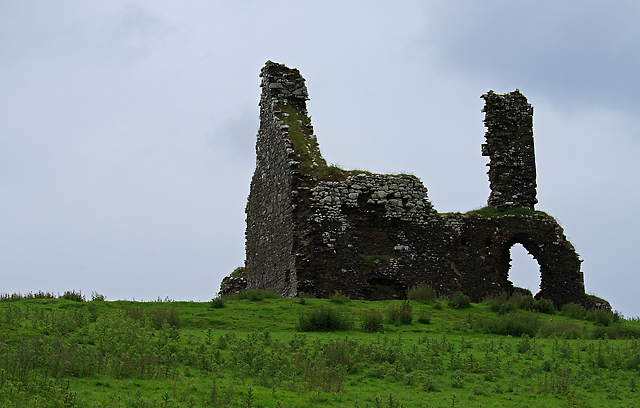 Bawn in Cullahill (glenkeen Par.)Bawn · 2.5 mi
 Pallas HillMountain / peak · 3.0 mi
 Kilvilcorris BogForest · 5.2 mi
 Killavalla WoodForest · 5.7 mi
 Silvermines ViewpointViewpoint · 9.8 mi
 Our Lady Assumed into HeavenMemorial · 11 mi