What is recorded here
Situated on SE-facing slope overlooking mountain valley in upland region with good view of standing stone (TN034-114) directly opposite to SE. The collpased stone (L 1m; dims. 0.65 x 0.20m), composed of limestone, is lying in a slight hollow caused by cattle poaching and was originally aligned N-S; the top of the stone rises to a point in a fashion similar to other standing stones in the region. The size of the stone and its lack of height may suggest that it is not a standing stone, however the tapering top of the stone and its relationship to the visible standing stone (TN034-114) suggest some relationship between the two monuments.
Compiled by: Caimin O'Brien.
Date of upload: 22 September 2008
Likely dating to the Neolithic or Bronze Age, this standing stone may have had ritual or territorial significance, possibly aligned with seasonal or astronomical events given its position opposite another stone. Local folklore sometimes associates such stones with ancient guardians or markers of hidden passage-ways.
The monument record does not grant public access. Check the route and ask the landowner before entering private land.
- What survives
- Recorded monument
Places near here
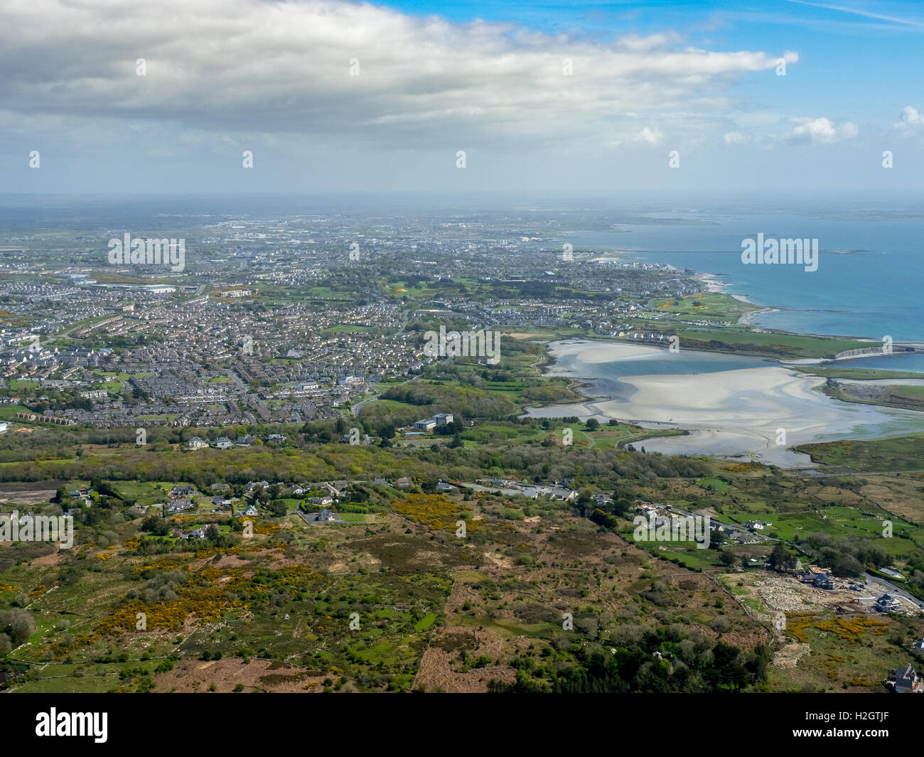 Enclosure in Rusheen MoreEnclosure · 1412 yd
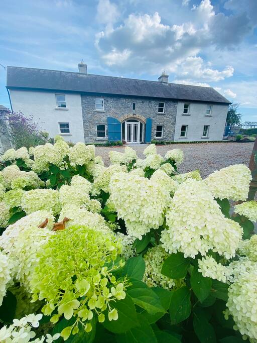 Fulacht fia in GortnahallaFulacht fia · 1.0 mi
 Saint Patrick's National Schoolschool · 1.4 mi
 Catholic Church of the Sacred Heartchurch/chapel · 1.5 mi
 CastleCastle, ringwork · 1.5 mi
 Moher HillMountain / peak · 1.6 mi
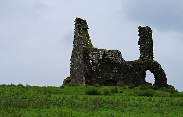 Bawn in Cullahill (glenkeen Par.)Bawn · 2.4 mi
 CoumsallahaunMountain / peak · 2.9 mi
 Kilvilcorris BogForest · 5.3 mi
 Killavalla WoodForest · 5.5 mi
 Silvermines ViewpointViewpoint · 9.6 mi
 Our Lady Assumed into HeavenMemorial · 10 mi