What is recorded here
Situated on a gentle S-facing slope. This is a local greenstone with a rectangular cross-section and a bluntly pointed top (dims. 0.5m x 0.2m; H 1.65m) is oriented N-S. It may date to the 20th century as it is not mentioned in relation to the discovery of a stone axe in the same field, (Power 1911).
The above description is derived from the published 'Archaeological Inventory of County Waterford' (Dublin: Stationery Office, 1999). In certain instances the entries have been revised and updated in the light of recent research.
Compiled by: Michael Moore.
Date of upload/revision: 24th May, 2011.
The monument record does not grant public access. Check the route and ask the landowner before entering private land.
- What survives
- Recorded monument
Places near here
 Site of CastleCastle, unclassified · 93 yd
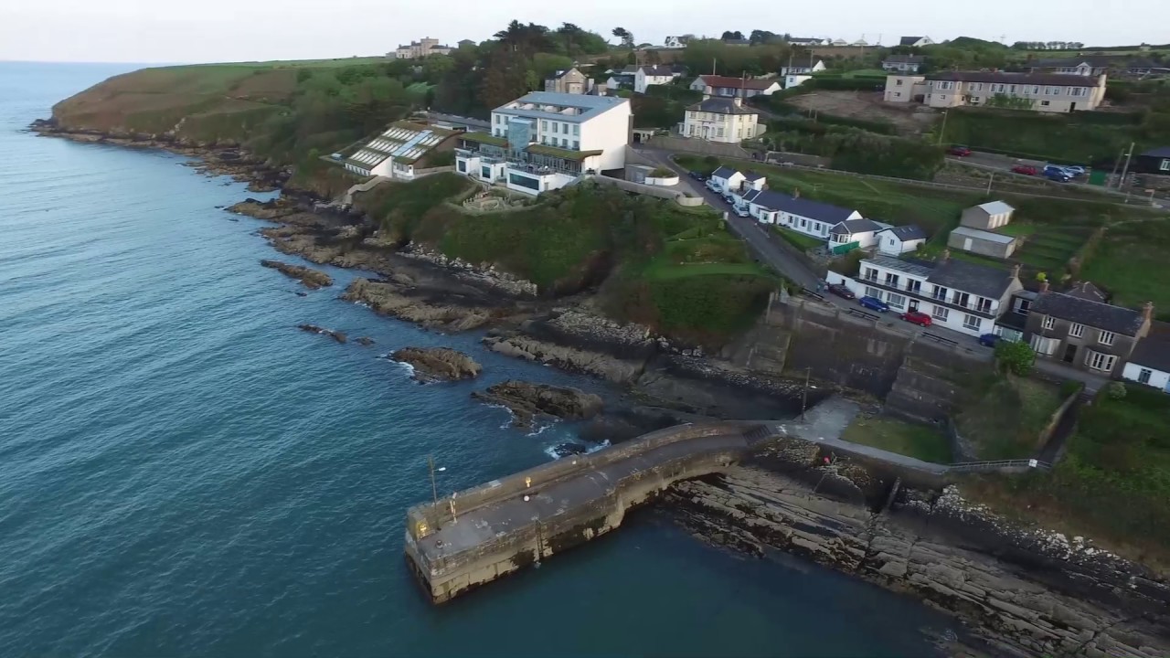 Embanked enclosureFairy fort / ringfort · 953 yd
 Font in Ardeenloun EastFont · 1151 yd
 Historic buildingOfficially recorded historic building · 1720 yd
 farmyard complexfarmyard complex · 1.1 mi
 Glenhouse WoodForest · 2.4 mi
 Donnell's HillMountain / peak · 2.7 mi
 Waterford & Suir Valley RailwayHeritage attraction · 3.3 mi
 Sargent's magnoliaSargent's magnolia · 4.0 mi
 St. Martin's WellSpring · 4.2 mi
 Mount Congreve GardensHeritage attraction · 4.5 mi
 Mote or TumulusCastle, motte · 4.7 mi