What is recorded here
Rathkeale stands in open pasture, a squat limestone boulder leaning slightly east on a gentle slope. It is not tall or distant, but present, with fissures running through its body and grass growing around its base. The stone may have watched herds move, people pass, or storms cross the field for centuries. Its simplicity leaves room for imagination, yet its shape and setting remain clear.
In pasture, on gentle NE-facing slope, in area of outcropping limestone. Squat deeply-fissured limestone boulder (H 0.95m; Wth 0.9m; girth 2.9m), with long axis N-S, inclining gently to E.
Compiled by: Denis Power
Date of upload: 26 August 2011
The monument record does not grant public access. Check the route and ask the landowner before entering private land.
- What survives
- Recorded monument
Places near here
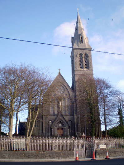 Saint Mary's Catholic Churchchurch/chapel · 511 yd
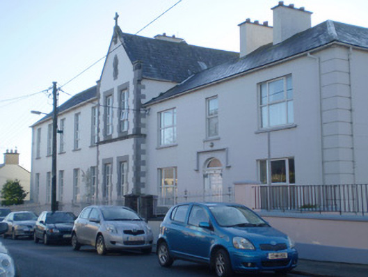 Saint Anne's Conventconvent/nunnery · 549 yd
 RathkealeHistoric town · 813 yd
 Burial GroundBurial ground · 1198 yd
 Glebe CastleCastle · 1555 yd
 Castle MatrixCastle, tower house · 1.1 mi
 TobernablahySpring · 2.0 mi
 Flat cemetery in CroaghFlat cemetery · 2.4 mi
 European ashEuropean ash · 3.0 mi
 St. Kieran's WellSpring · 3.1 mi
 Flat cemetery in Kiltenan SouthFlat cemetery · 4.3 mi
 Little HeavenHeritage attraction · 5.1 mi