What is recorded here
On a low rise in pasture. This low, narrow, roughly triangular-shaped limestone slab (H 1.16m; Wth 1.1m; T 0.24m) is aligned E-W. It is widest at the base where there are a number of small packing-stones.
Compiled by: Patrick F. O'Donovan
Date of upload: 19 December 2012
The monument record does not grant public access. Check the route and ask the landowner before entering private land.
- What survives
- Recorded monument
Places near here
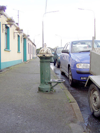 water pumpwater pump · 276 yd
 Bakers FortCastle, ringwork · 436 yd
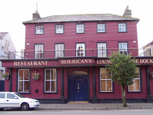 presbytery/parochial/curate's housepresbytery/parochial/curate's house · 538 yd
 1798 Monumentmonument · 652 yd
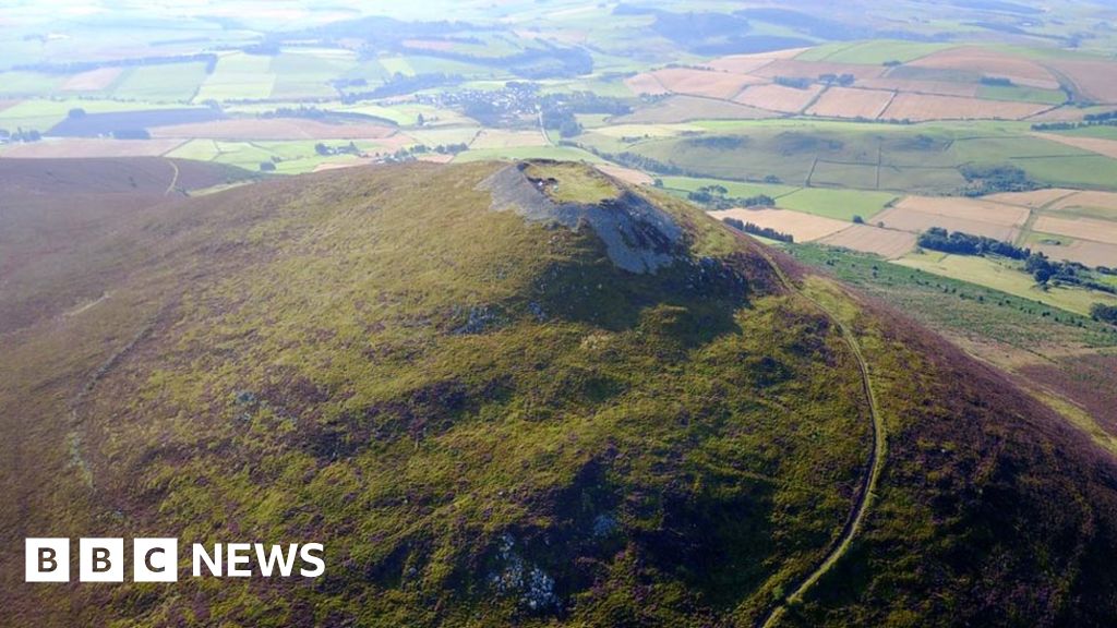 Hillfort in Granard,moatfield,teemoreHillfort · 709 yd
 Moat of GranardCastle, motte and bailey · 723 yd
 Granard MotteMotte-and-bailey castle remains · 727 yd
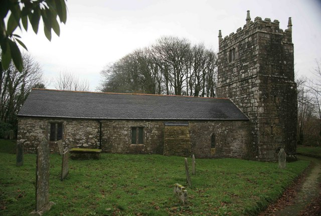 Grave YardGraveyard · 793 yd
 CartronfreeMountain / peak · 3.0 mi
 Clonfin Ambush MemorialMemorial · 4.0 mi
 CarrickabaneMountain / peak · 4.0 mi
 Derrycassan WoodsWood · 4.2 mi