What is recorded here
In reclaimed pasture, 110m E of a watercourse that forms a townland boundary with Knockainey West. Not depicted on OSi historic maps. Described by O’Kelly (1944, 32) as a ‘Standing stone’ consisting of; ‘A limestone pillar 5’ 5” high [1.6m] and 1’ 3” [0.39m] by 9” [0.22m] thick at the base. Its socket is packed with small boulders.’ Standing stone listed by Grogan (1989, 272). Stone visible on Digital Globe orthophotograph taken between 2011-13. Possible standing stone visible on Google earth orthoimage taken 28/06/2018.
See attached Google Earth orthoimages.
Compiled by: Fiona Rooney
Date of upload: 18 May 2021
Likely dating to the Bronze Age, the standing stone may have served a ritual or territorial function. No specific folklore or detailed use has been recorded for this site.
The monument record does not grant public access. Check the route and ask the landowner before entering private land.
- What survives
- Recorded monument
Places near here
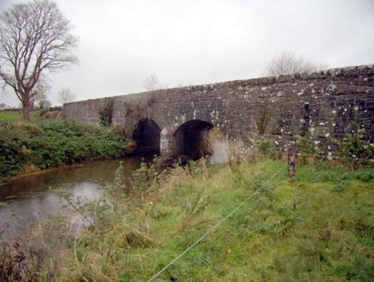 bridgebridge · 119 yd
 Flat cemetery in Knockainy WestFlat cemetery · 709 yd
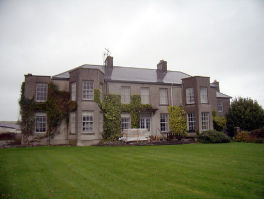 Knockainy Studcountry house · 743 yd
 Desmond Castle (in ruins)Castle, unclassified · 803 yd
 Grave YardBurial ground · 917 yd
 Knockainy Castle (in ruins)Castle, tower house · 972 yd
 Promontory fortPromontory fort, inland · 1050 yd
 KnockainyMountain / peak · 1.0 mi
 Glen BogForest · 2.5 mi
 St Patrick's WellSpring · 3.5 mi
 Kilteely HillMountain / peak · 4.4 mi
 Edmund's WellSpring · 4.5 mi