What is recorded here
No relevant local facts were provided for that exact request.
Immediately outside S bank of ringfort (CO118-007001-). Rectangular stone aligned ENE-WSW (H 0.8m; 0.75m x 0.5m).
The above description is derived from the published 'Archaeological Inventory of County Cork. Volume 1: West Cork' (Dublin: Stationery Office, 1992). In certain instances the entries have been revised and updated in the light of recent research.
Date of upload/revision: 14 January 2009
Probably dates to the early medieval period, given its proximity to a ringfort. It may have had a ceremonial or territorial function, though specific folklore or symbolic meaning is not recorded.
The monument record does not grant public access. Check the route and ask the landowner before entering private land.
- What survives
- Recorded monument
Places near here
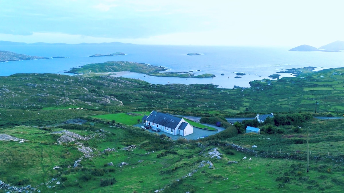 Man-made underground passage in Caherdaniel EastMan-made underground passage · 1072 yd
 Clapper bridge in Derryginagh EastClapper bridge · 1371 yd
 Drombrow Housecountry house · 1427 yd
 Trawlebane WalkWalking route · 1601 yd
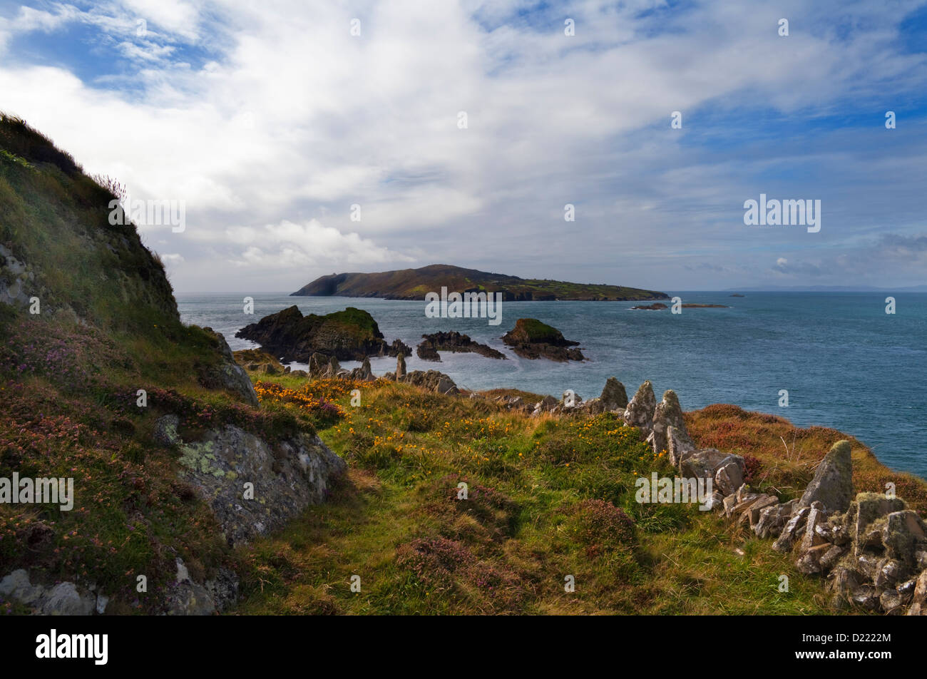 IndicatedFairy fort / stone ringfort · 1.1 mi
 Baugorm Castle (Site of)Castle, unclassified · 1.4 mi
 Francis O'Neill PlaqueMemorial · 1.6 mi
 Graveyard in TownlotsGraveyard · 1.8 mi
 Tourist OfficeVisitor information · 1.9 mi
 Seskin ViewViewpoint · 2.1 mi
 Bantry HouseHeritage attraction · 2.5 mi
 GinkgoGinkgo · 2.7 mi