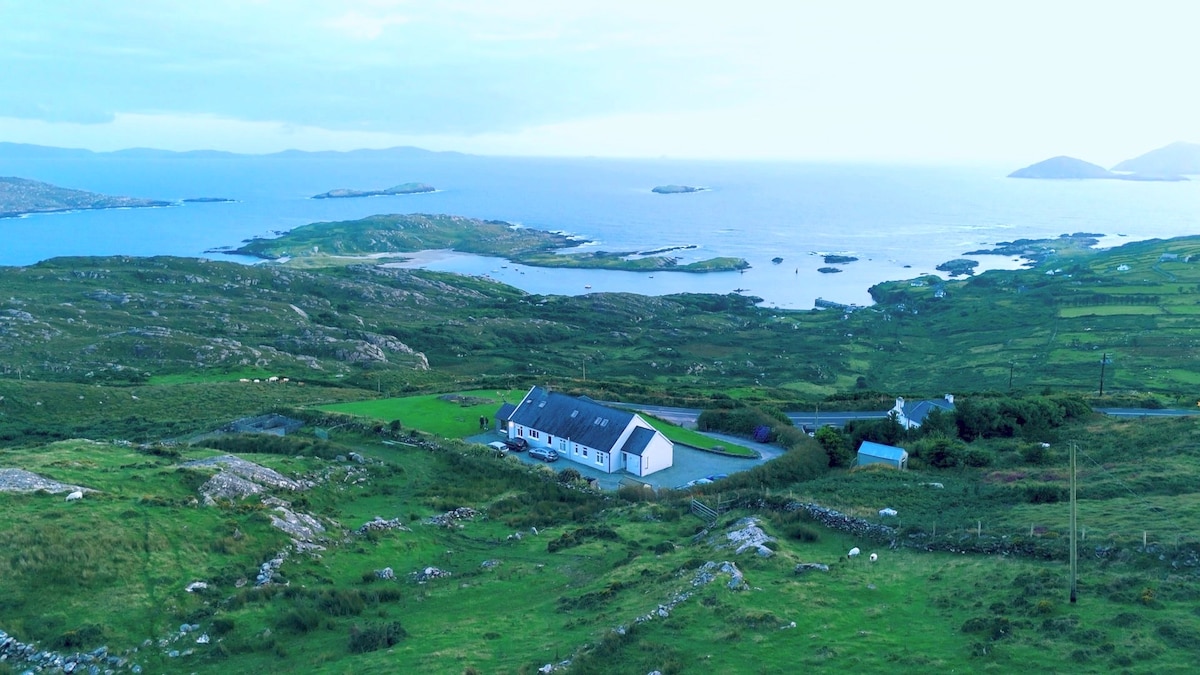
What is recorded here
This Man-made underground passage is published in Myler, D. (1998) An Archaeological Survey of the Mealagh Valley. Mealagh Valley Community Development Association, 119-120. here it is described as 'located high on a steep north facing slope commanding a fine view over Bantry Bay to the north-west. The entrance to the Man-made underground passage was filled with stones in recent years to stop animals entering it. It now appears as an overgrown cairn of stones measuring approximately 10 ft E-W, 20 ft. N-S and 3 ft. high.'
Compiled by: Denis Power
Date of upload: 2 May 2013
The monument record does not grant public access. Check the route and ask the landowner before entering private land.
- What survives
- Recorded monument
Places near here
 Drombrow Housecountry house · 1344 yd
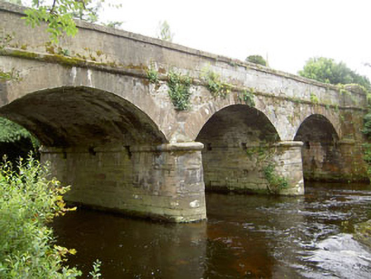 Dunnamark Bridgebridge · 1547 yd
 Cliff-edge fort in DromdoneenCliff-edge fort · 1723 yd
 IndicatedFairy fort / earthen ringfort · 1.1 mi
 Graveyard in TownlotsGraveyard · 1.3 mi
 Trawlebane WalkWalking route · 1.4 mi
 Tourist OfficeVisitor information · 1.4 mi
 Statue of Wolfe ToneMemorial · 1.5 mi
 Baugorm Castle (Site of)Castle, unclassified · 1.8 mi
 Seskin ViewViewpoint · 1.9 mi
 Bantry HouseHeritage attraction · 2.0 mi
 Ballylickey BayBay · 2.3 mi
Other information
Photo: Credit not shown in the picture search · Rights wording not checked; contact us if this picture should be removed