What is recorded here
Standing stone in Pluckanes North stood in pasture until removal erased every visible trace. It resisted earlier mapping, appearing only on the 1939 survey after decades of absence from official drawings. That delay suggests human sight, memory or local use kept the stone alive before ink caught up. Now the ground holds no marker, but the gap between maps still points to the exact place where something upright once broke the sky.
Not shown on 1842 and 1904 OS 6-inch maps. Shown as single standing stone on 1939 OS 6-inch map. In pasture. Removed; no visible surface trace.
The above description is derived from the published 'Archaeological Inventory of County Cork. Volume 3: Mid Cork' (Dublin: Stationery Office, 1997). In certain instances the entries have been revised and updated in the light of recent research.
Date of upload/revision: 14 January 2009
The monument record does not grant public access. Check the route and ask the landowner before entering private land.
- What survives
- Recorded monument
Places near here
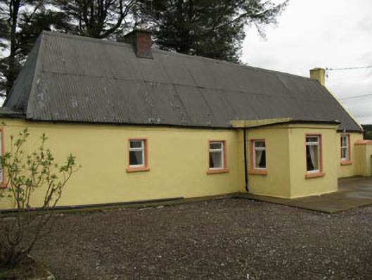 farm housefarm house · 1.3 mi
 Lyradane MountainMountain / peak · 1.5 mi
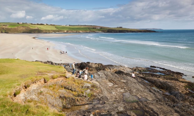 Mound in Kilquane (barretts By.)Mound · 1.9 mi
 Grave Yard (Disused)Graveyard · 1.9 mi
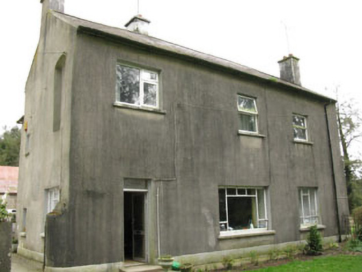 Davis Castlehouse · 2.1 mi
 Rock HillMountain / peak · 2.4 mi
 Castle (Site of)Castle, Anglo-Norman masonry castle · 2.8 mi
 New TipperaryVisitor information · 2.9 mi
 Ballyvodane Castle (in Ruins)Castle, unclassified · 3.0 mi
 Pairc Ath Na hEornaMemorial · 4.6 mi
 Knockduff Wind FarmVisitor information · 4.8 mi
 Saint Bartholomew's WellSpring · 5.1 mi