What is recorded here
In pasture on NW-facing slope. Lozenge-shaped stone aligned NNE-SSW (H 2.02m; 0.32m x 0.31m).
The above description is derived from the published 'Archaeological Inventory of County Cork. Volume 1: West Cork' (Dublin: Stationery Office, 1992). In certain instances the entries have been revised and updated in the light of recent research.
Date of upload/revision: 14 January 2009
Dated to the Late Neolithic or Early Bronze Age, this standing stone may have had ceremonial or territorial significance. No specific folklore or detailed use is recorded for this site.
The monument record does not grant public access. Check the route and ask the landowner before entering private land.
- What survives
- Recorded monument
Places near here
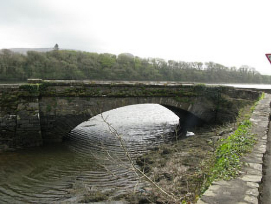 bridgebridge · 324 yd
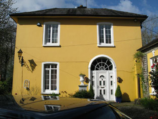 rectory/glebe/vicarage/curate's houserectory/glebe/vicarage/curate's house · 341 yd
 Coolnalong Castle (in Ruins)House, fortified house · 931 yd
 Burial Ground (Disused)Burial ground · 1013 yd
 Mannion's Island (Small)Islet · 1502 yd
 Rossmore Castle (in Ruins)Castle, tower house · 1619 yd
 LisdromalogheraEnclosure · 1687 yd
 Mannion's Island (Large)Islet · 1.0 mi
 KilbreaghMountain / peak · 1.4 mi
 Mount CorrinMountain / peak · 1.7 mi
 Coomkeen Loop WalkWalking route · 1.8 mi
 Durrus CheeseHeritage attraction · 2.0 mi